Transport Functions
Multimodal
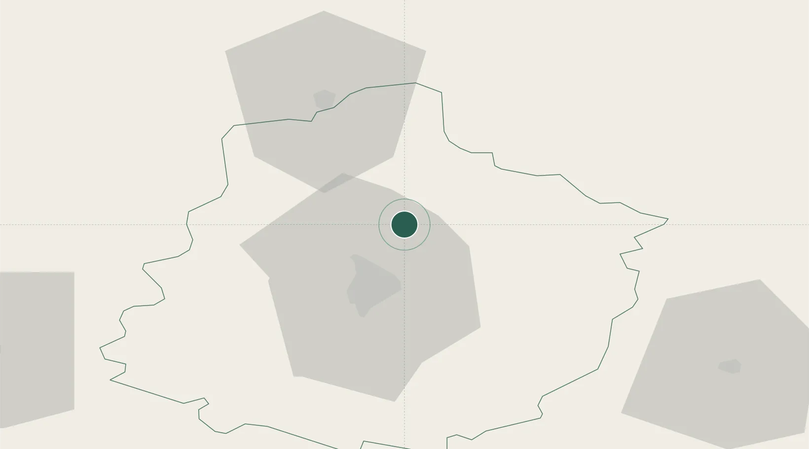
Hub Profile
Place type
Populated place
Region
Pays de la Loire
Population
455
Time zone
Europe/Paris
Elevation
80 m
Location
Nearby Logistics Neighbours
Cities
- 1Saint-Mars-sous-Ballon5 km
- 2Torce-Viviers-en-Charnie6 km
- 3Le Mans16 km
- 4Tuffé17 km
- 5Ardenay-sur-Mérize18 km
Ports
- 1Port De Caen126 km
- 2Ouistreham134 km
- 3Deauville138 km
- 4Honfleur143 km
- 5Port Of Le Havre151 km
Airports
- 1Le Mans-Arnage Airport21 km
- 2Laval-Entrammes Airport77 km
- 3Angers Marcé airport78 km
- 4Châteaudun Airfield82 km
- 5Tours Val de Loire Airport85 km
Trade Zones
- 1ZFU Le Mans21 km
- 2ZFU Alençon36 km
- 3ZFU Blois96 km
- 4ZFU Angers98 km
- 5ZFU Dreux et Sainte-Gemme-Moronval106 km
DatabookThe Record of Consolidated Knowledge
France beyond logistics?