Transport Functions
Port
Rail
Road
Airport
Postal
Hub Profile
Place type
Regional capital
Region
Pays de la Loire
Population
325,070
Time zone
Europe/Paris
Elevation
19 m
Logistics facilities
2
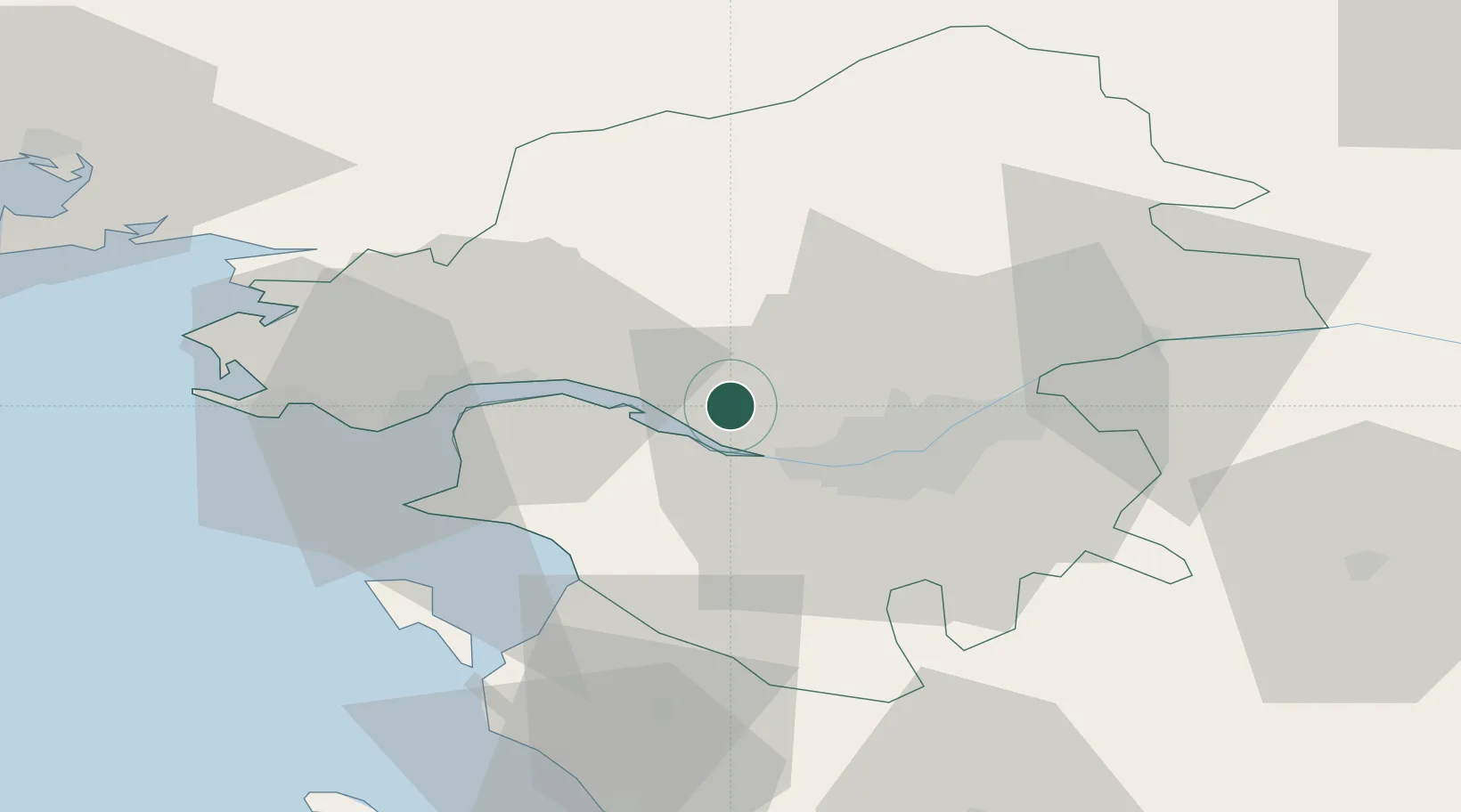
Location
Nearby Logistics Neighbours
Cities
- 1Cordemais8 km
- 2Treillières12 km
- 3Indre12 km
- 4Frossay13 km
- 5Fay-de-Bretagne15 km
Ports
- 1Donges22 km
- 2Montoir27 km
- 3St Nazaire32 km
- 4Les Sables D' Olonne87 km
- 5Lorient129 km
Airports
Trade Zones
- 1ZFU Nantes et Saint-Herblain9 km
- 2ZFU Saint-Nazaire38 km
- 3ZFU Angers91 km
- 4ZFU La Rochelle132 km
- 5ZFU Le Mans162 km
DatabookThe Record of Consolidated Knowledge
France beyond logistics?