Transport Functions
Road
Multimodal
Hub Profile
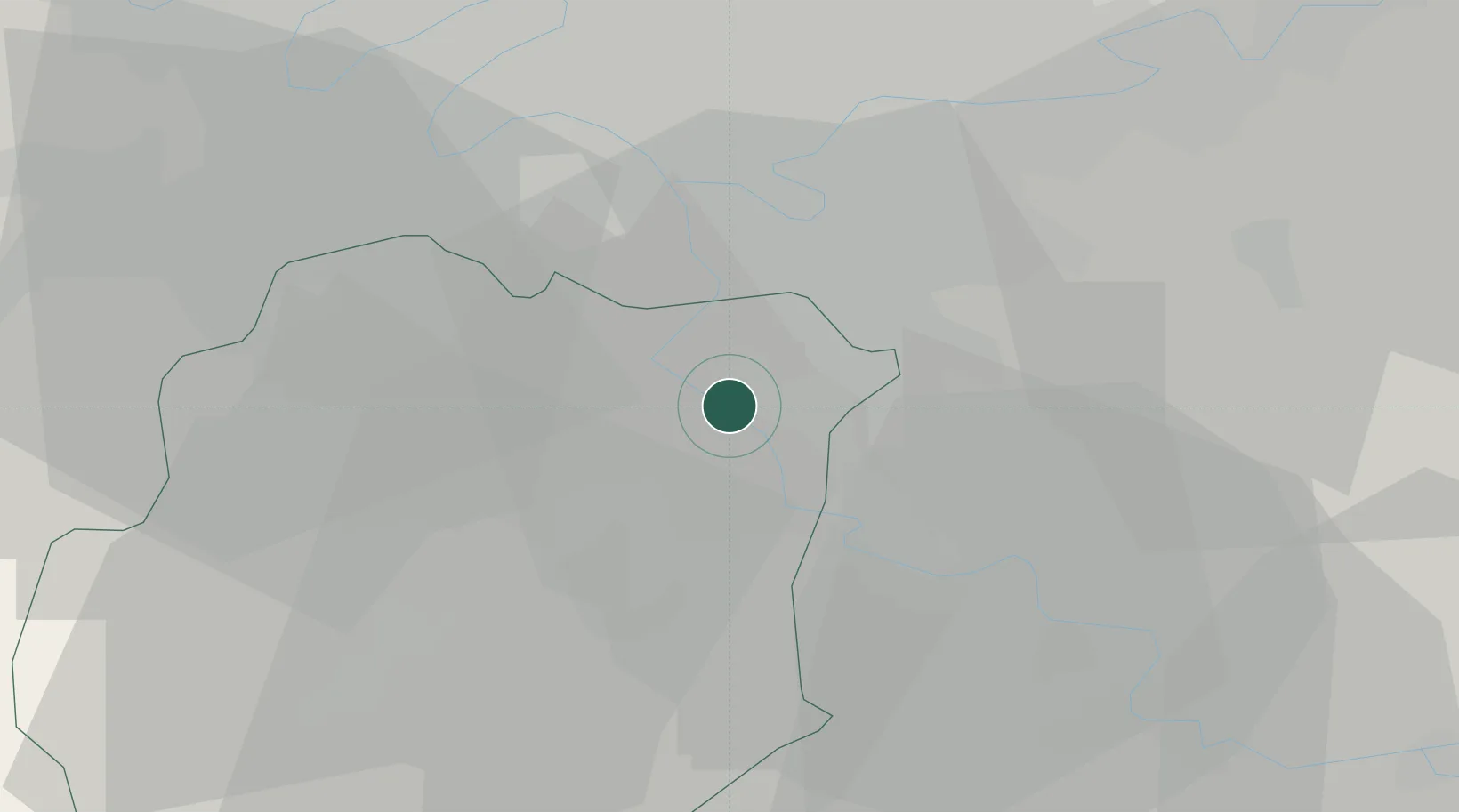
Place type
Populated place
Region
Île-de-France
Population
7,552
Time zone
Europe/Paris
Elevation
59 m
Location
Nearby Logistics Neighbours
Ports
- 1Port Of Rouen134 km
- 2Dieppe174 km
- 3Le Treport176 km
- 4Saint-Valery-Sur-Somme181 km
- 5Honfleur184 km
Airports
Trade Zones
- 1ZFU Epinay-sous-Sénart6 km
- 2ZFU Grigny Viry-Châtillon6 km
- 3ZFU Corbeil-Evry6 km
- 4ZFU Choisy-le-Roi et Orly13 km
- 5ZFU Vitry-sur-Seine16 km
DatabookThe Record of Consolidated Knowledge
France beyond logistics?