Transport Functions
Multimodal
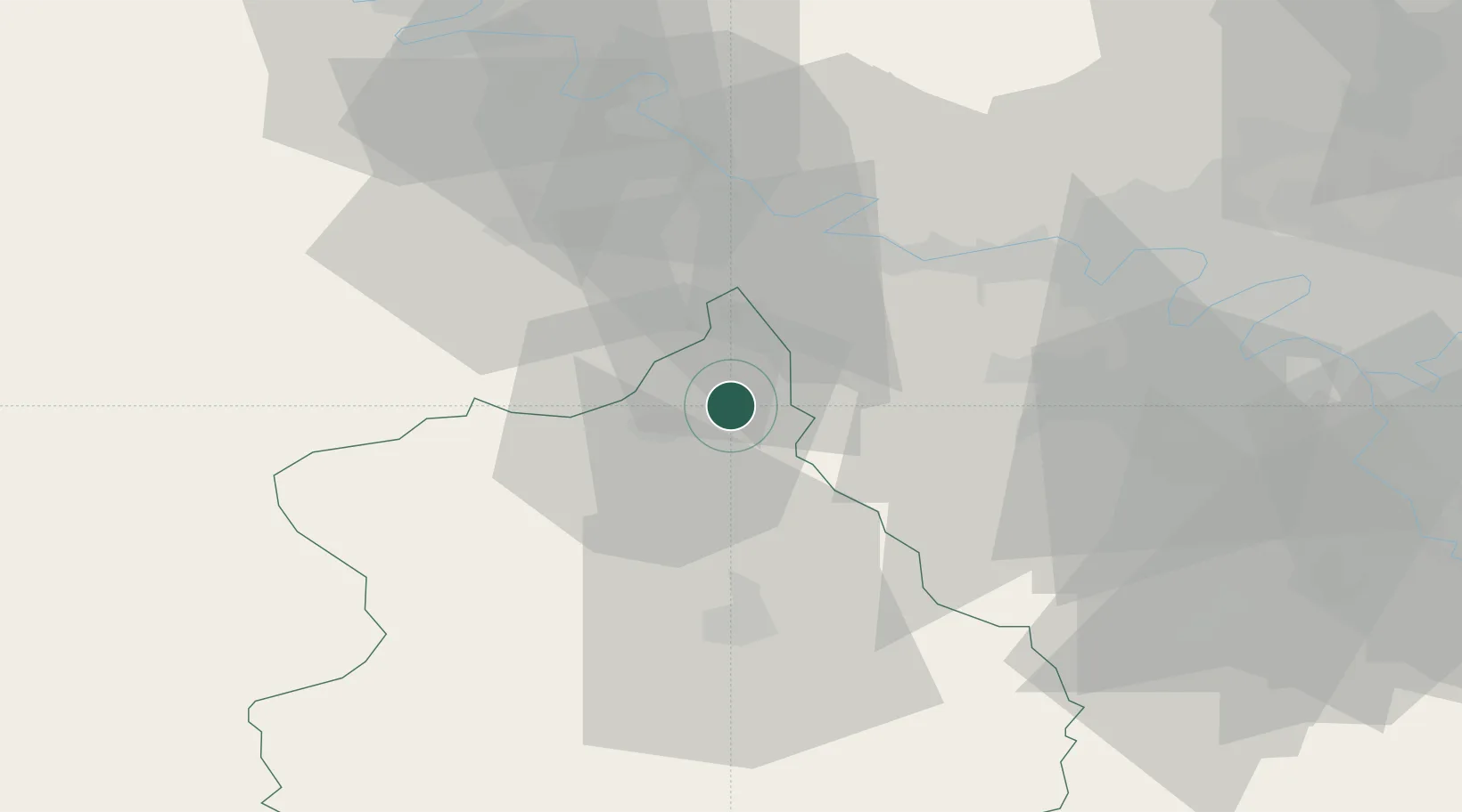
Hub Profile
Place type
Populated place
Region
Centre-Val de Loire
Population
303
Time zone
Europe/Paris
Elevation
141 m
Location
Nearby Logistics Neighbours
Cities
- 1Montreuil9 km
- 2Vert-en-Drouais13 km
- 3Villiers-le-Morhier18 km
- 4Mulcent18 km
- 5Bréval19 km
Ports
- 1Port Of Rouen82 km
- 2Honfleur117 km
- 3Deauville122 km
- 4Port Of Le Havre127 km
- 5Dieppe133 km
Airports
Trade Zones
- 1ZFU Dreux et Sainte-Gemme-Moronval8 km
- 2ZFU Mantes-la-Jolie30 km
- 3ZFU Trappes38 km
- 4ZFU Évreux38 km
- 5ZFU Les Mureaux39 km
DatabookThe Record of Consolidated Knowledge
France beyond logistics?