Transport Functions
Road
Multimodal
Hub Profile
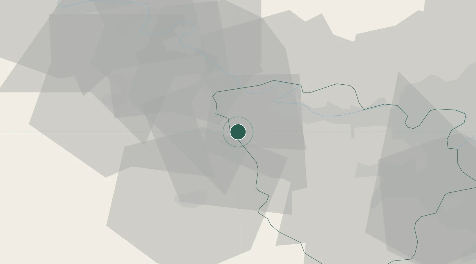
Place type
Populated place
Region
Île-de-France
Population
1,735
Time zone
Europe/Paris
Elevation
127 m
Location
Nearby Logistics Neighbours
Cities
- 1Mulcent11 km
- 2Bennecourt12 km
- 3Bonnières-sur-Seine12 km
- 4Magnanville13 km
- 5Sandrancourt15 km
Ports
- 1Port Of Rouen66 km
- 2Honfleur109 km
- 3Deauville115 km
- 4Dieppe116 km
- 5Port Of Le Havre119 km
Airports
Trade Zones
- 1ZFU Mantes-la-Jolie16 km
- 2ZFU Dreux et Sainte-Gemme-Moronval23 km
- 3ZFU Les Mureaux28 km
- 4ZFU Évreux29 km
- 5ZFU Trappes39 km
DatabookThe Record of Consolidated Knowledge
France beyond logistics?