UN/LOCODE hub · France
FRTXM

Mulcent

48.8833°, 1.6500°
74
Population
2
Transport functions

Transport Functions

Port
Multimodal
UN/LOCODE

Hub Profile

Place type
Populated place
GeoNames
Region
Île-de-France
GeoNames
Population
74
GeoNames
Time zone
Europe/Paris
GeoNames
Elevation
123 m
GeoNames

Location

Location of FRTXM
Natural Earth 10m (public domain) · Île-de-France · FRTXM · 48.88, 1.65GoogleOSMYandex

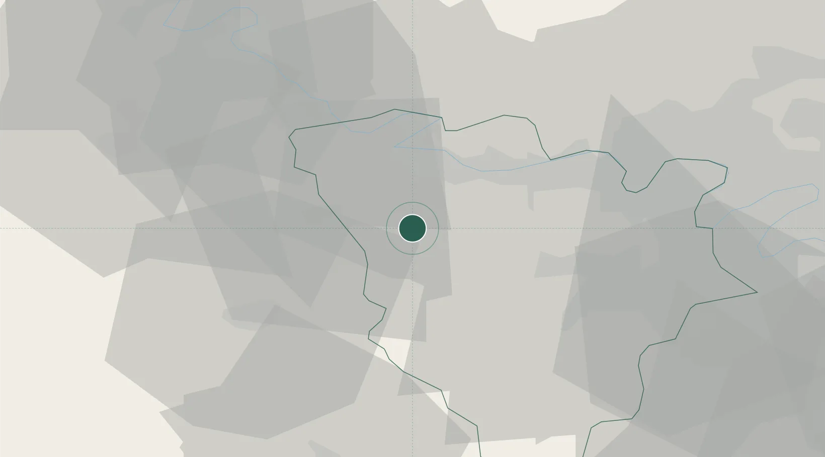
Nearby Logistics Neighbours

Cities
  1. 1Magnanville10 km
  2. 2Guerville10 km
  3. 3Jumeauville10 km
  4. 4Bréval11 km
  5. 5Mantes-la-Jolie12 km
Nearest neighbours — logibook spatial index (haversine) over the source coordinates
Ports
  1. 1Port Of Rouen76 km
  2. 2Honfleur120 km
  3. 3Dieppe124 km
  4. 4Deauville126 km
  5. 5Port Of Le Havre130 km
Nearest neighbours — logibook spatial index (haversine) over the source coordinates
Airports
  1. 1Évreux-Fauville (BA 105) Air Base35 km
  2. 2Toussus-le-Noble Airport37 km
  3. 3Pontoise-Cormeilles Aerodrome37 km
  4. 4Vélizy-Villacoublay Air Base42 km
  5. 5Paris-Orly Airport56 km
Nearest neighbours — logibook spatial index (haversine) over the source coordinates
Trade Zones
  1. 1ZFU Mantes-la-Jolie13 km
  2. 2ZFU Les Mureaux21 km
  3. 3ZFU Dreux et Sainte-Gemme-Moronval25 km
  4. 4ZFU Trappes28 km
  5. 5ZFU Sartrouville38 km
Nearest neighbours — logibook spatial index (haversine) over the source coordinates
DatabookThe Record of Consolidated Knowledge
France beyond logistics?
Browse databook

All Sources

LocationsUN/LOCODE
UN/LOCODE — free
LocationsGeoNames
CC BY 4.0
Portsthe NGA World Port Index
Public domain (US gov)
AirportsOurAirports
Public domain
Trade Zonesthe World Bank SEZ database
CC BY 4.0
Trade ZonesOpen Zone Map
CC BY
← France locations