Transport Functions
Multimodal
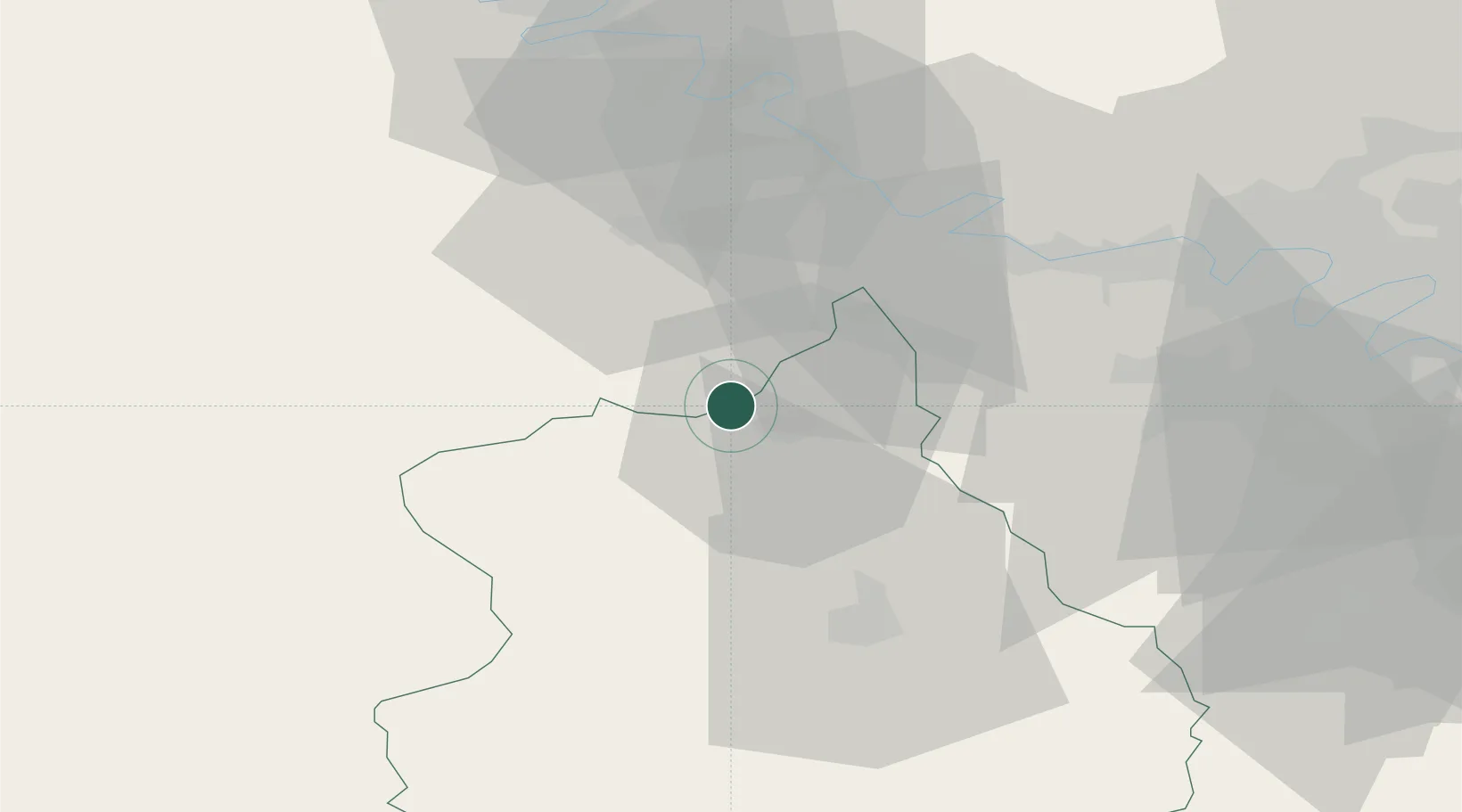
Hub Profile
Place type
Populated place
Region
Centre-Val de Loire
Population
1,076
Time zone
Europe/Paris
Elevation
91 m
Location
Nearby Logistics Neighbours
Cities
- 1Montreuil5 km
- 2La Madeleine-de-Nonancourt7 km
- 3Serville13 km
- 4Tremblay-les-Villages19 km
- 5Île-de-Bréhat24 km
Ports
- 1Port Of Rouen78 km
- 2Honfleur107 km
- 3Deauville111 km
- 4Port Of Le Havre117 km
- 5Ouistreham127 km
Airports
Trade Zones
- 1ZFU Dreux et Sainte-Gemme-Moronval6 km
- 2ZFU Évreux31 km
- 3ZFU Mantes-la-Jolie39 km
- 4ZFU Les Mureaux50 km
- 5ZFU Trappes51 km
DatabookThe Record of Consolidated Knowledge
France beyond logistics?