Transport Functions
Rail
Road
Hub Profile
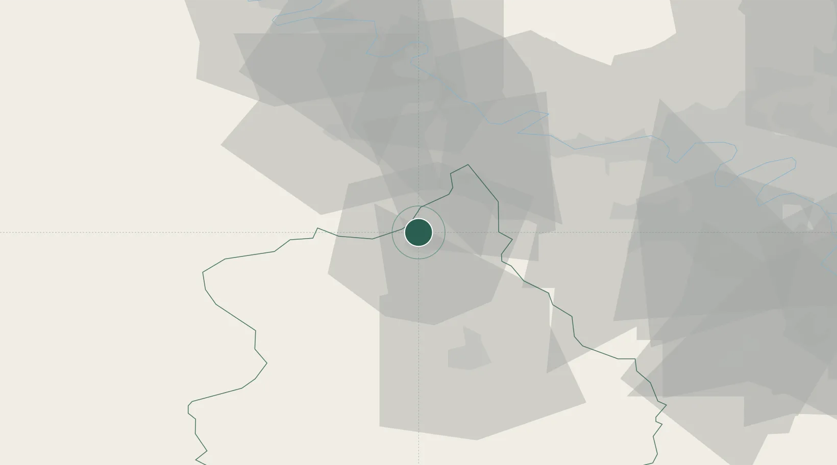
Place type
Populated place
Region
Centre-Val de Loire
Population
513
Time zone
Europe/Paris
Elevation
76 m
Location
Nearby Logistics Neighbours
Cities
- 1Vert-en-Drouais5 km
- 2Serville9 km
- 3La Madeleine-de-Nonancourt12 km
- 4Tremblay-les-Villages19 km
- 5Bréval22 km
Ports
- 1Port Of Rouen79 km
- 2Honfleur111 km
- 3Deauville115 km
- 4Port Of Le Havre121 km
- 5Ouistreham131 km
Airports
Trade Zones
- 1ZFU Dreux et Sainte-Gemme-Moronval2 km
- 2ZFU Évreux33 km
- 3ZFU Mantes-la-Jolie35 km
- 4ZFU Les Mureaux46 km
- 5ZFU Trappes46 km
DatabookThe Record of Consolidated Knowledge
France beyond logistics?