UN/LOCODE hub · France
FRZSU

Sainte-Soulle

46.1833°, -1.0167°
2,840
Population
2
Transport functions

Transport Functions

Road
Multimodal
UN/LOCODE

Hub Profile

Place type
Populated place
GeoNames
Region
Nouvelle-Aquitaine
GeoNames
Population
2,840
GeoNames
Time zone
Europe/Paris
GeoNames
Elevation
33 m
GeoNames

Location

Location of FRZSU
Natural Earth 10m (public domain) · Nouvelle-Aquitaine · FRZSU · 46.18, -1.02GoogleOSMYandex

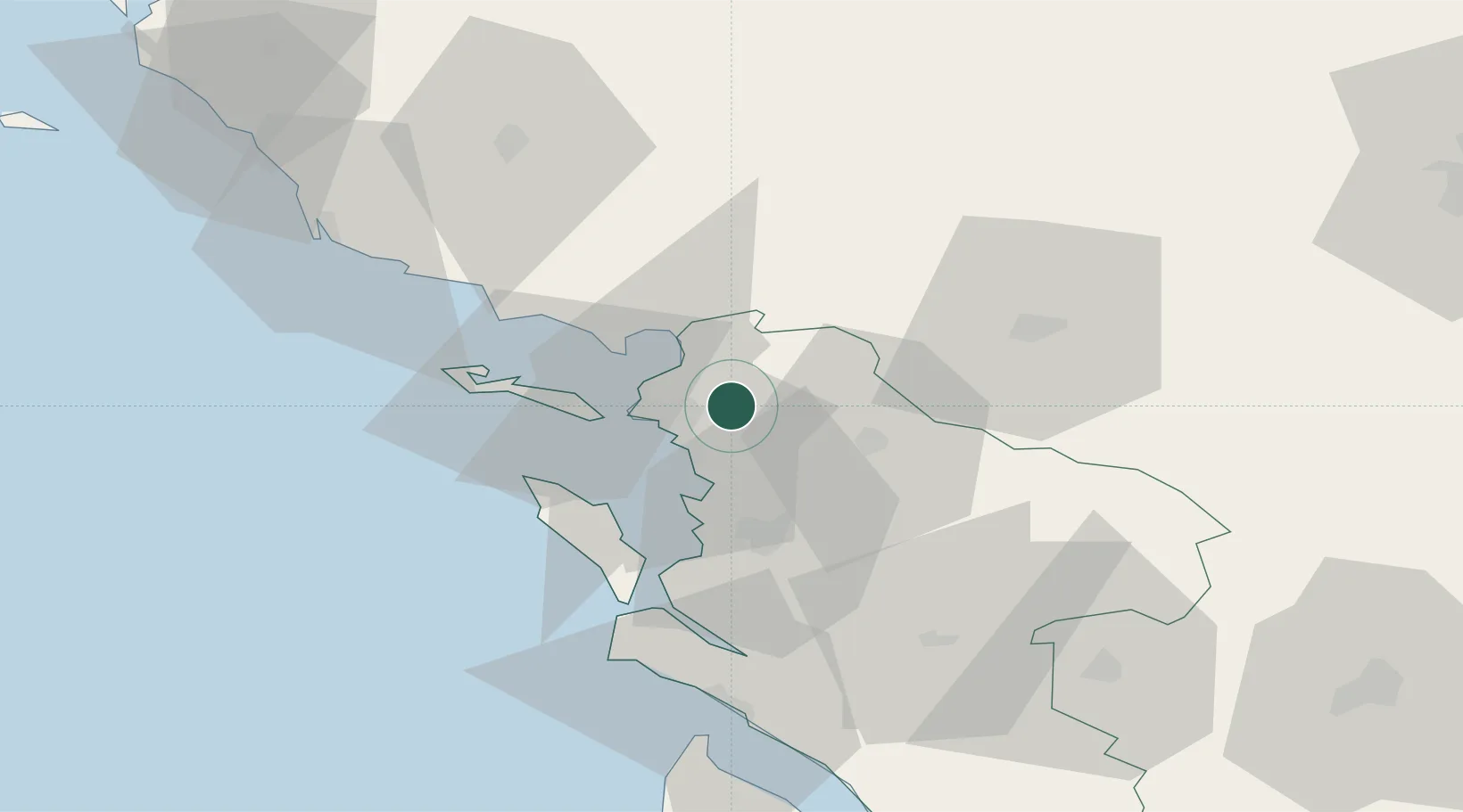
Nearby Logistics Neighbours

Cities
  1. 1La Jarrie6 km
  2. 2Périgny6 km
  3. 3La Jarne8 km
  4. 4Aytré9 km
  5. 5Esnandes9 km
Nearest neighbours — logibook spatial index (haversine) over the source coordinates
Ports
  1. 1La Rochelle11 km
  2. 2La Pallice16 km
  3. 3Rochefort28 km
  4. 4Tonnay Charente29 km
  5. 5Les Sables D' Olonne70 km
Nearest neighbours — logibook spatial index (haversine) over the source coordinates
Airports
  1. 1La Rochelle Île de Ré Airport14 km
  2. 2Rochefort-Saint-Agnant (BA 721) Airport33 km
  3. 3Niort - Marais Poitevin Airport50 km
  4. 4Royan-Médis Airport62 km
  5. 5La Roche-sur-Yon Les Ajoncs Airport64 km
Nearest neighbours — logibook spatial index (haversine) over the source coordinates
Trade Zones
  1. 1ZFU La Rochelle15 km
  2. 2ZFU Nantes et Saint-Herblain127 km
  3. 3Port de Bordeaux147 km
  4. 4ZFU Angers148 km
  5. 5ZFU Hauts de Garonne154 km
Nearest neighbours — logibook spatial index (haversine) over the source coordinates
DatabookThe Record of Consolidated Knowledge
France beyond logistics?
Browse databook

All Sources

LocationsUN/LOCODE
UN/LOCODE — free
LocationsGeoNames
CC BY 4.0
Portsthe NGA World Port Index
Public domain (US gov)
AirportsOurAirports
Public domain
Trade Zonesthe World Bank SEZ database
CC BY 4.0
Trade ZonesOpen Zone Map
CC BY
← France locations