UN/LOCODE hub · France
FRSYC
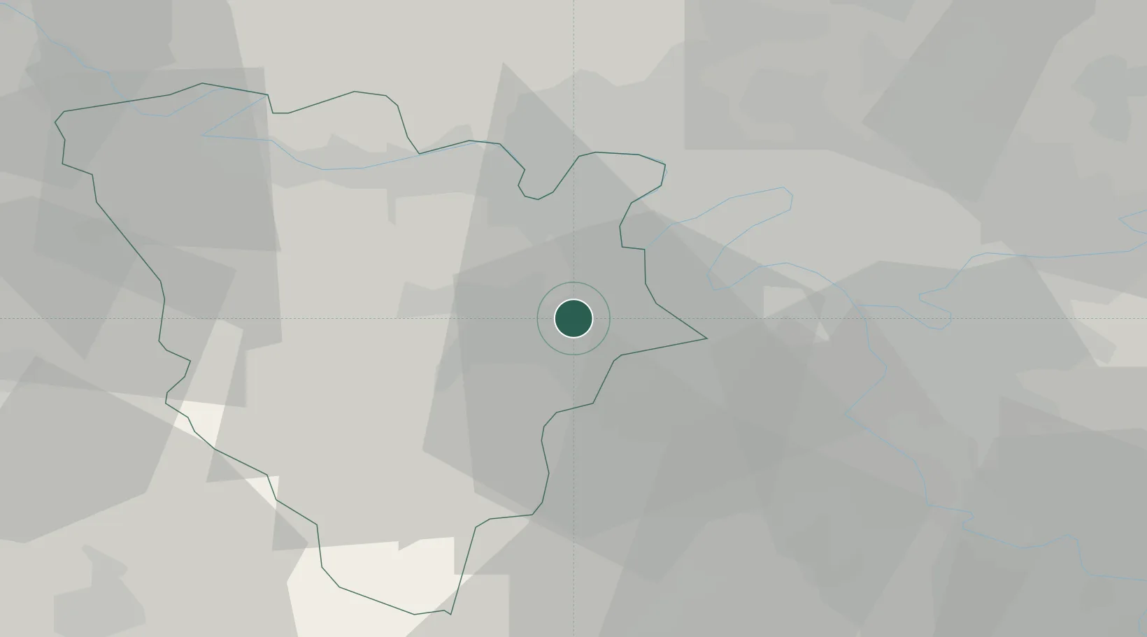
Saint-Cyr-l'École
48.8000°, 2.0667°
16,365
Population
2
Transport functions
Transport Functions
Rail
Road
Hub Profile
Place type
Populated place
Region
Île-de-France
Population
16,365
Time zone
Europe/Paris
Elevation
153 m
Location
Nearby Logistics Neighbours
Cities
- 1Bois-d'Arcy2 km
- 2Versailles5 km
- 3Trappes5 km
- 4Les Loges-en-Josas6 km
- 5Saint-Quentin-en-Yvelines6 km
Ports
- 1Port Of Rouen103 km
- 2Dieppe145 km
- 3Le Treport150 km
- 4Honfleur151 km
- 5Saint-Valery-Sur-Somme157 km
Airports
Trade Zones
- 1ZFU Trappes6 km
- 2ZFU Sartrouville17 km
- 3ZFU Argenteuil21 km
- 4ZFU Vitry-sur-Seine23 km
- 5ZFU Epinay-sur-Seine24 km
DatabookThe Record of Consolidated Knowledge
France beyond logistics?