Transport Functions
Multimodal
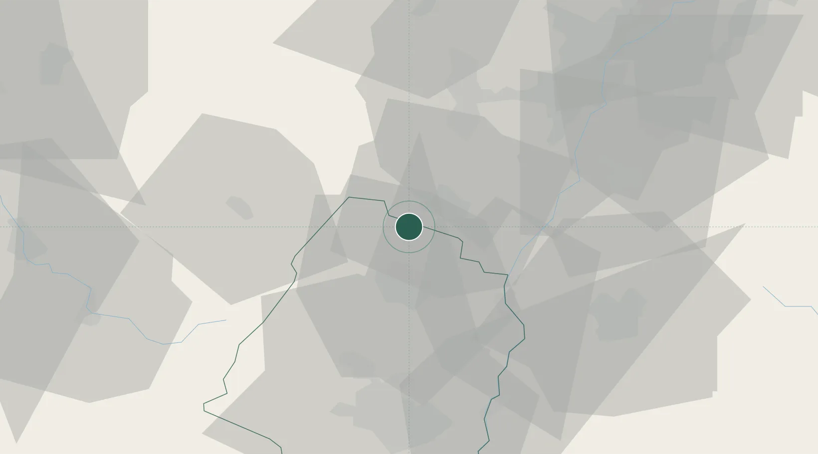
Hub Profile
Place type
Populated place
Region
Grand Est
Population
331
Time zone
Europe/Paris
Elevation
258 m
Location
Nearby Logistics Neighbours
Cities
- 1Orschwiller3 km
- 2Kintzheim4 km
- 3Châtenois5 km
- 4Scherwiller7 km
- 5Hunawihr8 km
Airports
- 1Colmar Houssen airport14 km
- 2Lahr Airport38 km
- 3Strasbourg Airport40 km
- 4Phalsbourg-Bourscheid Air Base60 km
- 5EuroAirport Basel–Mulhouse–Freiburg72 km
Trade Zones
- 1ZFU Neuhof46 km
- 2ZFU Hautepierre48 km
- 3ZFU Mulhouse54 km
- 4ZFU Belfort77 km
- 5ZFU Montbéliard91 km
DatabookThe Record of Consolidated Knowledge
France beyond logistics?