Transport Functions
Rail
Road
Hub Profile
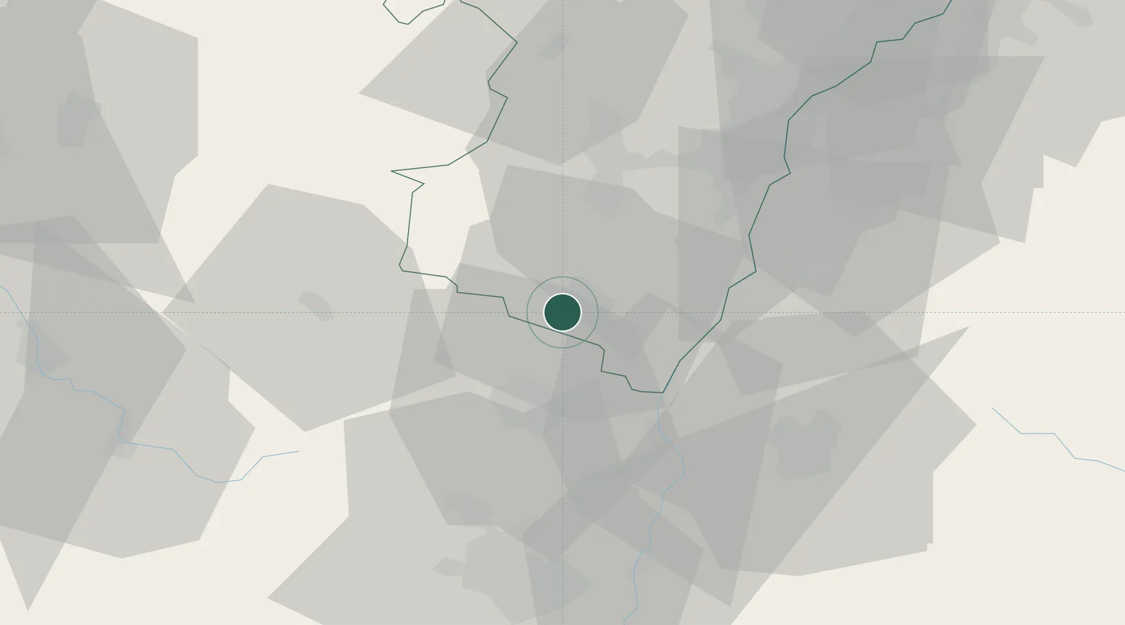
Place type
Populated place
Region
Grand Est
Population
3,584
Time zone
Europe/Paris
Elevation
191 m
Location
Nearby Logistics Neighbours
Cities
- 1Kintzheim2 km
- 2Scherwiller2 km
- 3Sélestat4 km
- 4Orschwiller4 km
- 5Rodern5 km
Airports
- 1Colmar Houssen airport18 km
- 2Lahr Airport34 km
- 3Strasbourg Airport35 km
- 4Phalsbourg-Bourscheid Air Base58 km
- 5EuroAirport Basel–Mulhouse–Freiburg75 km
Trade Zones
- 1ZFU Neuhof41 km
- 2ZFU Hautepierre42 km
- 3ZFU Mulhouse58 km
- 4ZFU Belfort82 km
- 5ZFU Montbéliard96 km
DatabookThe Record of Consolidated Knowledge
France beyond logistics?