Transport Functions
Port
Road
Hub Profile
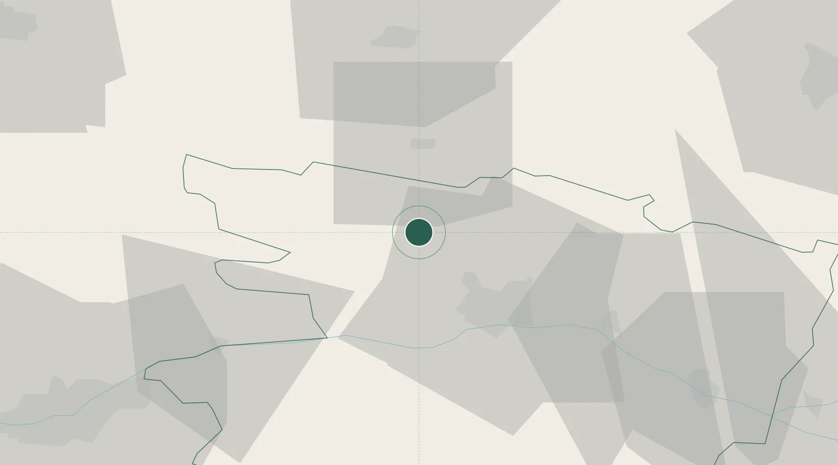
Place type
Populated place
Region
Pays de la Loire
Time zone
Europe/Paris
Elevation
25 m
Location
Nearby Logistics Neighbours
Cities
- 1Segré13 km
- 2Montreuil-Juigné13 km
- 3Écouflant18 km
- 4Beaucouzé20 km
- 5Château-Gontier22 km
Ports
- 1Nantes80 km
- 2Donges108 km
- 3Montoir113 km
- 4St Nazaire118 km
- 5Saint-Malo149 km
Airports
- 1Angers Marcé airport31 km
- 2Laval-Entrammes Airport44 km
- 3Le Mans-Arnage Airport77 km
- 4Nantes Atlantique Airport86 km
- 5Rennes-Saint-Jacques Airport90 km
Trade Zones
- 1ZFU Angers19 km
- 2ZFU Le Mans74 km
- 3ZFU Nantes et Saint-Herblain87 km
- 4ZFU Alençon107 km
- 5ZFU Saint-Nazaire124 km
DatabookThe Record of Consolidated Knowledge
France beyond logistics?