Transport Functions
Multimodal
Hub Profile
Place type
Populated place
Region
Pays de la Loire
Population
3,894
Time zone
Europe/Paris
Elevation
24 m
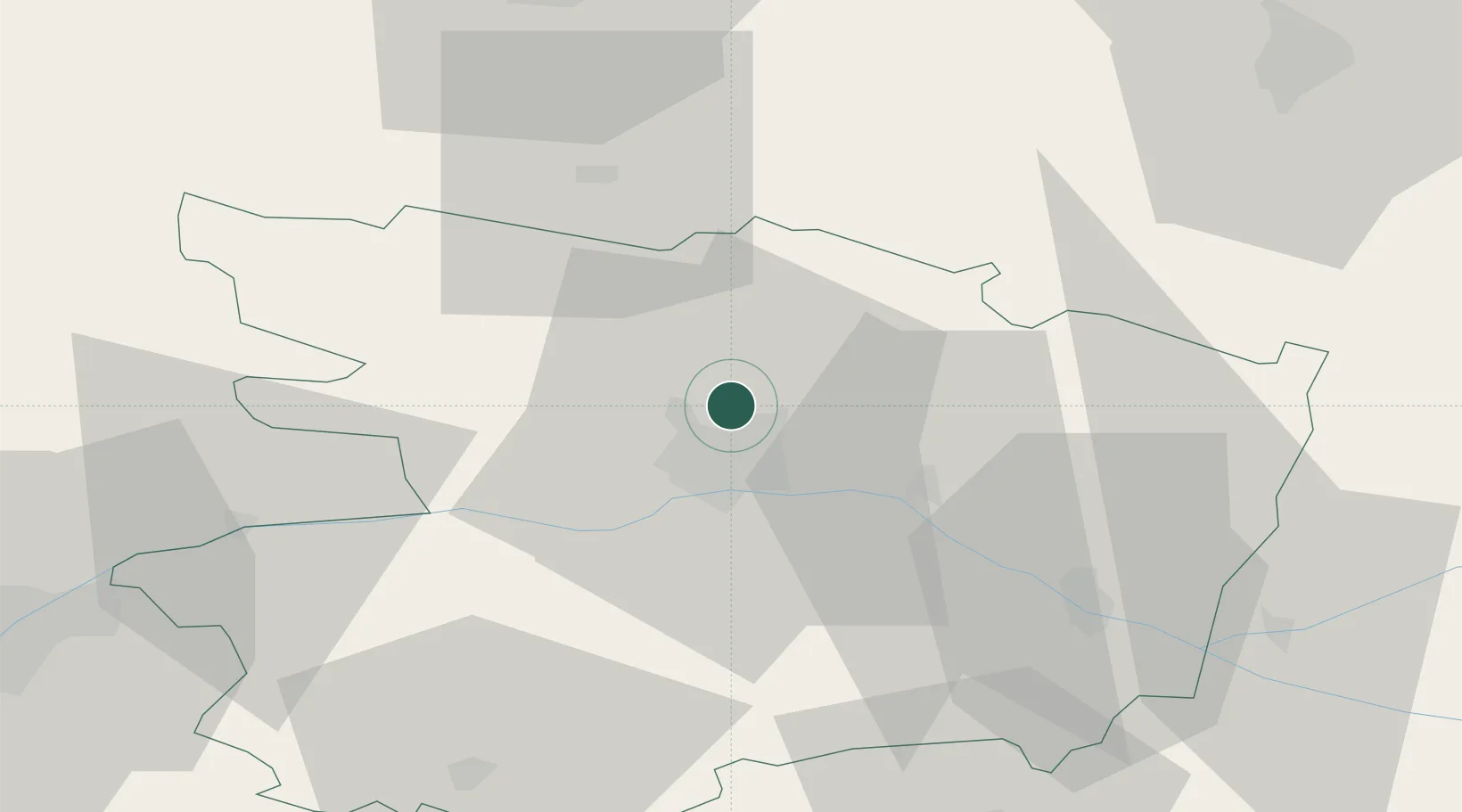
Location
Nearby Logistics Neighbours
Cities
- 1Montreuil-Juigné6 km
- 2Angers8 km
- 3Gare Saint-Laud/Angers8 km
- 4Beaucouzé11 km
- 5Corzé11 km
Ports
- 1Nantes86 km
- 2Donges118 km
- 3Montoir123 km
- 4St Nazaire129 km
- 5Les Sables D' Olonne150 km
Airports
- 1Angers Marcé airport17 km
- 2Laval-Entrammes Airport58 km
- 3Le Mans-Arnage Airport72 km
- 4Nantes Atlantique Airport92 km
- 5Tours Val de Loire Airport95 km
Trade Zones
- 1ZFU Angers8 km
- 2ZFU Le Mans70 km
- 3ZFU Nantes et Saint-Herblain94 km
- 4ZFU Alençon110 km
- 5ZFU Saint-Nazaire134 km
DatabookThe Record of Consolidated Knowledge
France beyond logistics?