Transport Functions
Rail
Road
Hub Profile
Place type
Populated place
Region
Pays de la Loire
Time zone
Europe/Paris
Elevation
60 m
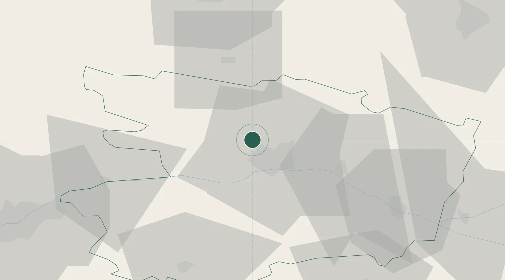
Location
Nearby Logistics Neighbours
Cities
- 1Écouflant6 km
- 2Beaucouzé8 km
- 3Angers9 km
- 4Gare Saint-Laud/Angers9 km
- 5Le Lion-d'Angers13 km
Ports
- 1Nantes81 km
- 2Donges112 km
- 3Montoir117 km
- 4St Nazaire122 km
- 5Les Sables D' Olonne146 km
Airports
- 1Angers Marcé airport23 km
- 2Laval-Entrammes Airport56 km
- 3Le Mans-Arnage Airport77 km
- 4Nantes Atlantique Airport86 km
- 5Tours Val de Loire Airport102 km
Trade Zones
- 1ZFU Angers6 km
- 2ZFU Le Mans75 km
- 3ZFU Nantes et Saint-Herblain89 km
- 4ZFU Alençon112 km
- 5ZFU Saint-Nazaire128 km
DatabookThe Record of Consolidated Knowledge
France beyond logistics?