Transport Functions
Road
Multimodal
Hub Profile
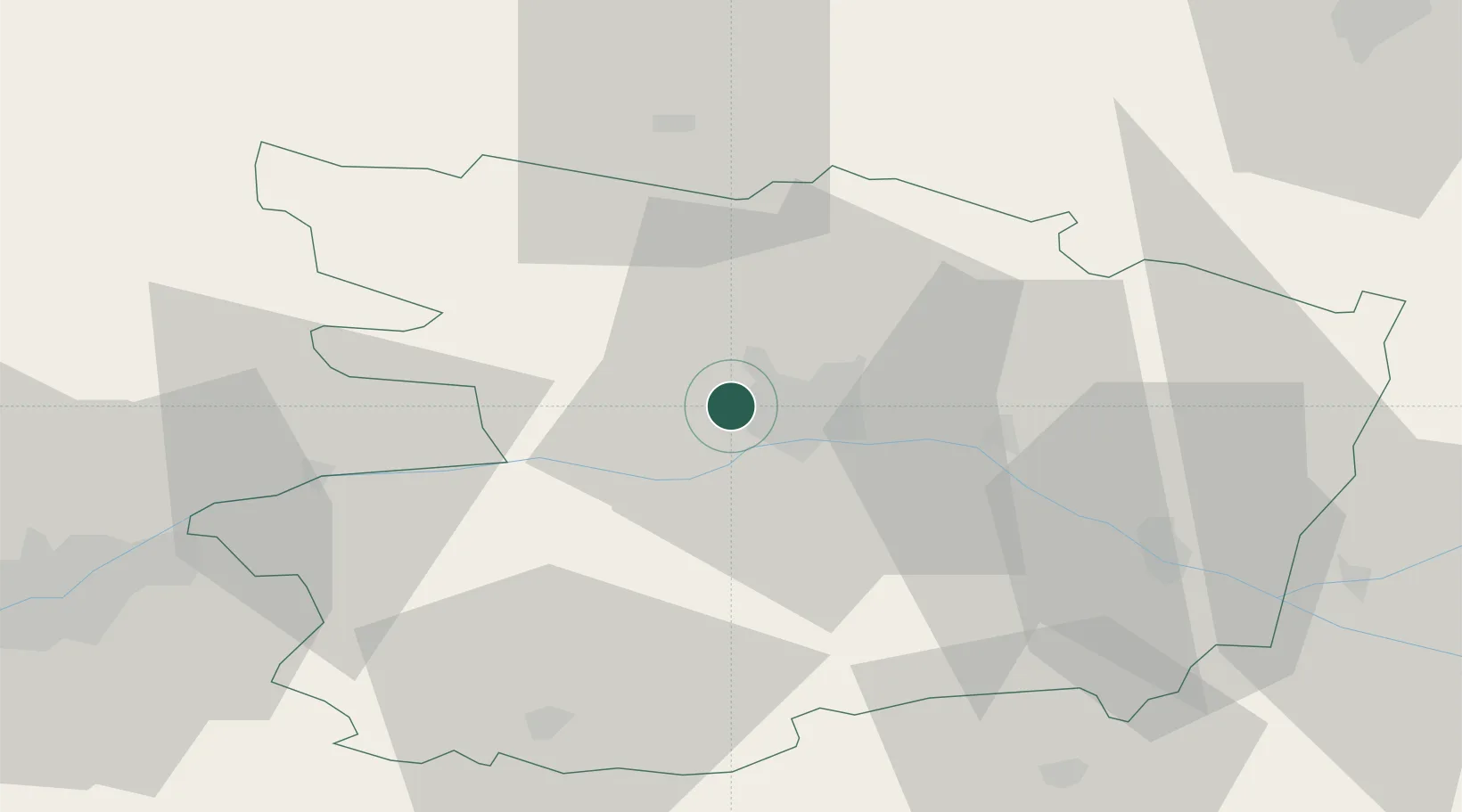
Place type
Populated place
Region
Pays de la Loire
Population
4,534
Time zone
Europe/Paris
Elevation
58 m
Location
Nearby Logistics Neighbours
Cities
- 1Angers6 km
- 2Gare Saint-Laud/Angers6 km
- 3Sainte-Gemmes-sur-Loire8 km
- 4Montreuil-Juigné8 km
- 5Savennières9 km
Ports
- 1Nantes76 km
- 2Donges110 km
- 3Montoir114 km
- 4St Nazaire120 km
- 5Les Sables D' Olonne139 km
Airports
Trade Zones
- 1ZFU Angers3 km
- 2ZFU Le Mans81 km
- 3ZFU Nantes et Saint-Herblain85 km
- 4ZFU Alençon120 km
- 5ZFU Saint-Nazaire125 km
DatabookThe Record of Consolidated Knowledge
France beyond logistics?