UN/LOCODE hub · France
FRCGO
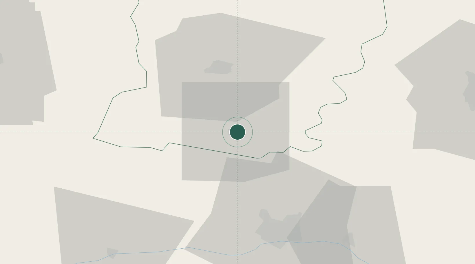
Château-Gontier
47.8333°, -0.7000°
12,292
Population
2
Transport functions
Transport Functions
Rail
Road
Hub Profile
Place type
District seat
Region
Pays de la Loire
Population
12,292
Time zone
Europe/Paris
Elevation
52 m
Location
Nearby Logistics Neighbours
Cities
- 1Loigné-sur-Mayenne5 km
- 2Pommerieux15 km
- 3Craon19 km
- 4Segré21 km
- 5Beaumont-Pied-de-Buf21 km
Ports
- 1Nantes96 km
- 2Donges118 km
- 3Montoir123 km
- 4St Nazaire128 km
- 5Granville130 km
Airports
- 1Laval-Entrammes Airport22 km
- 2Angers Marcé airport42 km
- 3Le Mans-Arnage Airport68 km
- 4Rennes-Saint-Jacques Airport81 km
- 5Nantes Atlantique Airport102 km
Trade Zones
- 1ZFU Angers40 km
- 2ZFU Le Mans64 km
- 3ZFU Alençon88 km
- 4ZFU Nantes et Saint-Herblain101 km
- 5ZFU Saint-Nazaire133 km
DatabookThe Record of Consolidated Knowledge
France beyond logistics?