Transport Functions
Port
Road
Hub Profile
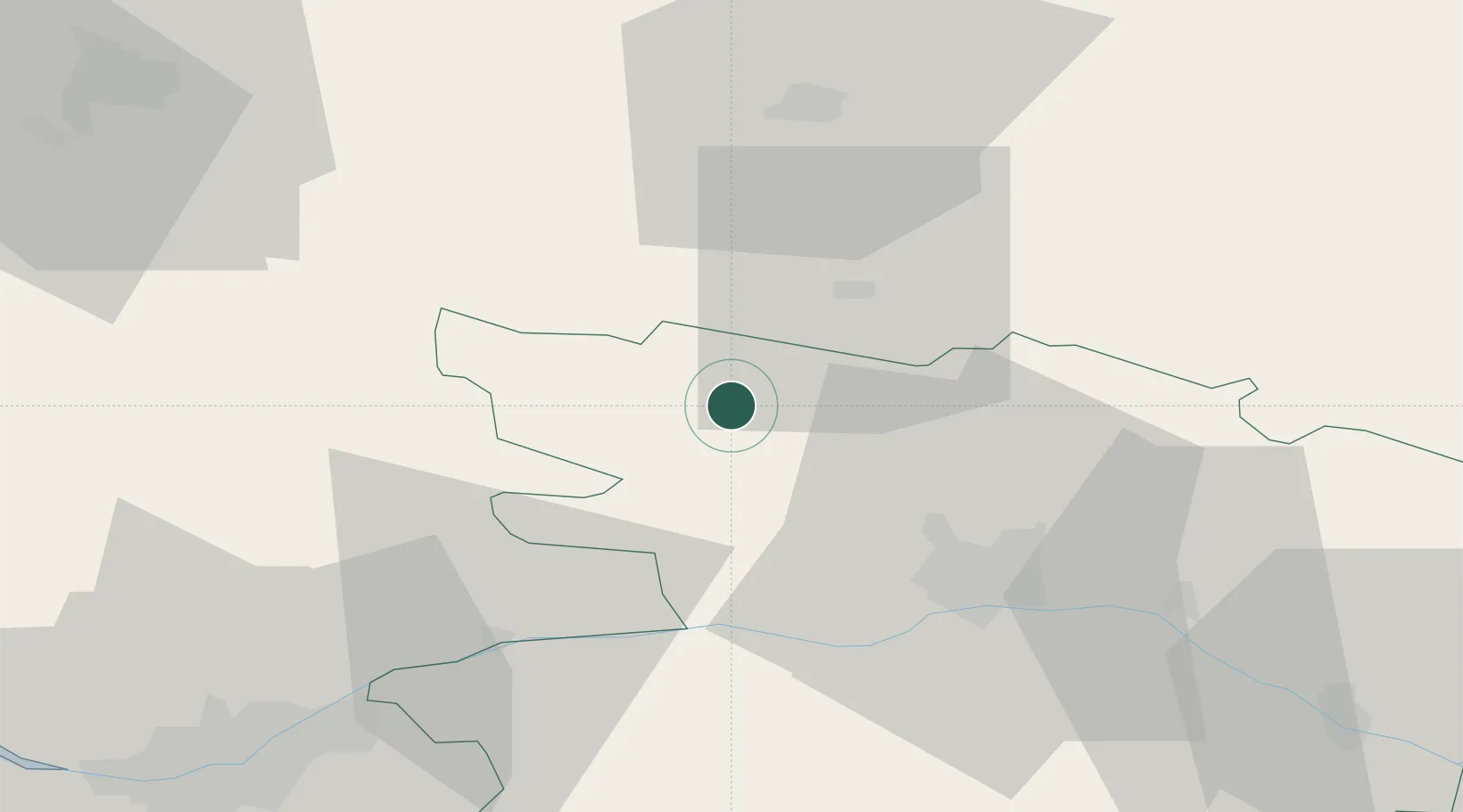
Place type
District seat
Region
Pays de la Loire
Population
7,428
Time zone
Europe/Paris
Elevation
42 m
Location
Nearby Logistics Neighbours
Cities
- 1Le Lion-d'Angers13 km
- 2Pommerieux17 km
- 3Craon20 km
- 4Château-Gontier21 km
- 5Loigné-sur-Mayenne22 km
Ports
- 1Nantes75 km
- 2Donges100 km
- 3Montoir104 km
- 4St Nazaire110 km
- 5Saint-Malo137 km
Airports
- 1Laval-Entrammes Airport40 km
- 2Angers Marcé airport44 km
- 3Rennes-Saint-Jacques Airport78 km
- 4Nantes Atlantique Airport81 km
- 5Le Mans-Arnage Airport85 km
Trade Zones
- 1ZFU Angers30 km
- 2ZFU Nantes et Saint-Herblain81 km
- 3ZFU Le Mans81 km
- 4ZFU Alençon109 km
- 5ZFU Saint-Nazaire115 km
DatabookThe Record of Consolidated Knowledge
France beyond logistics?