Transport Functions
Rail
Road
Hub Profile
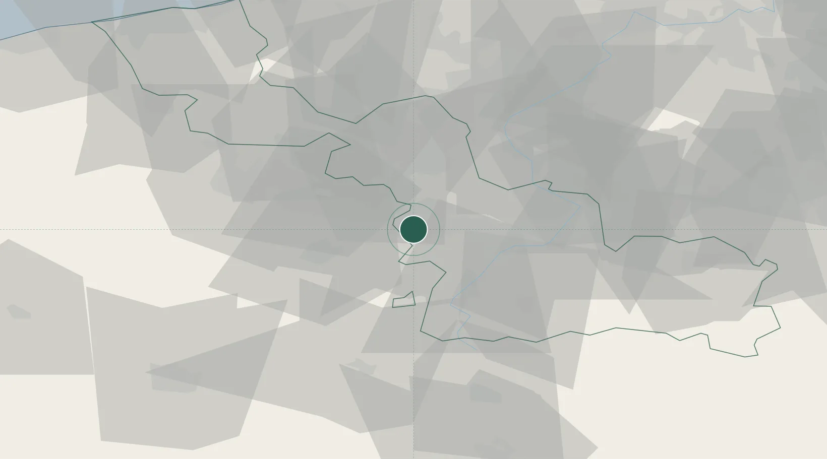
Place type
District seat
Region
Hauts-de-France
Population
46,531
Time zone
Europe/Paris
Elevation
29 m
Location
Nearby Logistics Neighbours
Cities
- 1Lauwin-Planque2 km
- 2Corbehem4 km
- 3Brebières5 km
- 4Courcelles-lès-Lens7 km
- 5Vitry-en-Artois7 km
Ports
- 1Nieuwpoort88 km
- 2Ghent91 km
- 3Dunkerque Port Est93 km
- 4Oostende97 km
- 5Bruges97 km
Airports
DatabookThe Record of Consolidated Knowledge
France beyond logistics?