Transport Functions
Multimodal
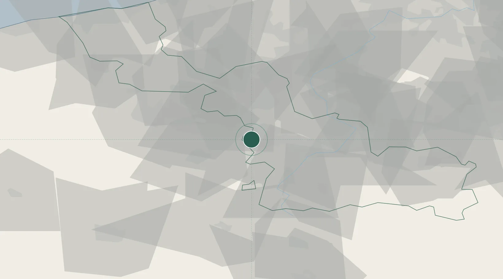
Hub Profile
Place type
Populated place
Region
Hauts-de-France
Population
1,944
Time zone
Europe/Paris
Elevation
26 m
Location
Nearby Logistics Neighbours
Cities
- 1Douai2 km
- 2Courcelles-lès-Lens4 km
- 3Corbehem6 km
- 4Brebières6 km
- 5Raimbeaucourt7 km
Ports
- 1Nieuwpoort86 km
- 2Ghent90 km
- 3Dunkerque Port Est91 km
- 4Oostende95 km
- 5Gravelines95 km
Airports
DatabookThe Record of Consolidated Knowledge
France beyond logistics?