Transport Functions
Multimodal
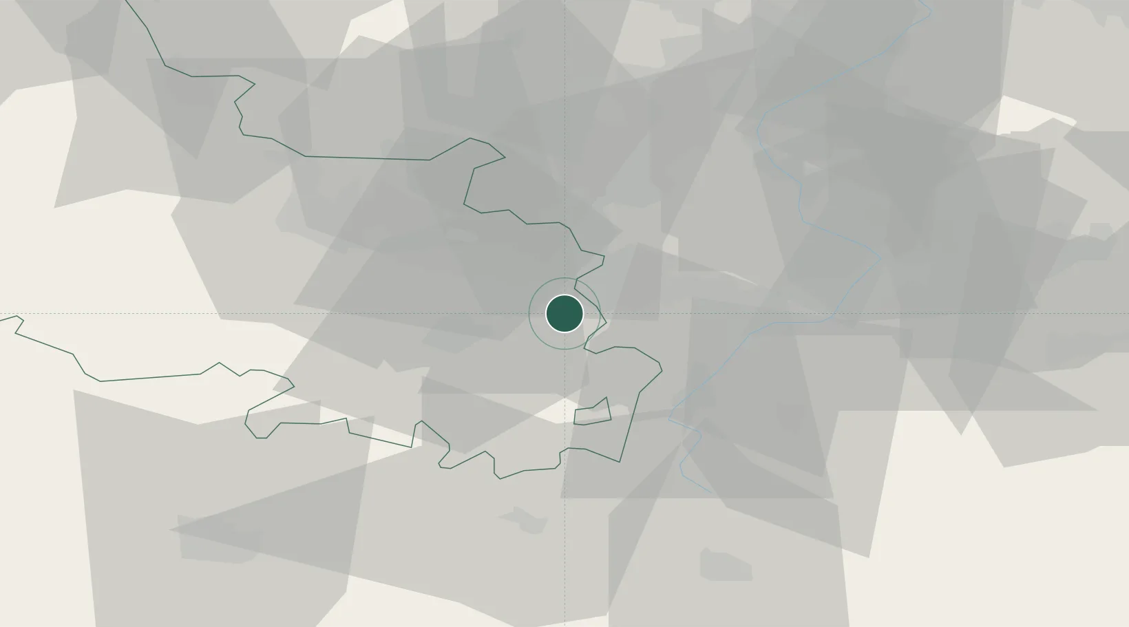
Hub Profile
Place type
Populated place
Region
Hauts-de-France
Population
4,692
Time zone
Europe/Paris
Elevation
49 m
Location
Nearby Logistics Neighbours
Cities
- 1Brebières2 km
- 2Corbehem5 km
- 3Douai7 km
- 4Lauwin-Planque7 km
- 5Rouvroy8 km
Ports
- 1Nieuwpoort91 km
- 2Dunkerque Port Est93 km
- 3Gravelines96 km
- 4Ghent97 km
- 5Saint-Valery-Sur-Somme99 km
Airports
DatabookThe Record of Consolidated Knowledge
France beyond logistics?