UN/LOCODE hub · France
FRPPC
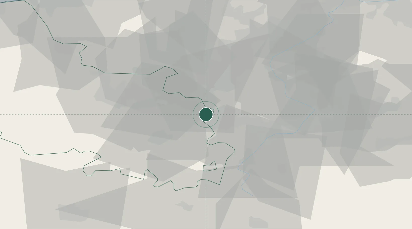
Courcelles-lès-Lens
50.4167°, 3.0167°
6,205
Population
2
Transport functions
Transport Functions
Road
Multimodal
Hub Profile
Place type
Populated place
Region
Hauts-de-France
Population
6,205
Time zone
Europe/Paris
Elevation
29 m
Location
Nearby Logistics Neighbours
Cities
- 1Lauwin-Planque4 km
- 2Dourges5 km
- 3Hénin-Beaumont6 km
- 4Raimbeaucourt6 km
- 5Douai7 km
Ports
- 1Nieuwpoort82 km
- 2Dunkerque Port Est86 km
- 3Ghent88 km
- 4Gravelines91 km
- 5Oostende91 km
Airports
DatabookThe Record of Consolidated Knowledge
France beyond logistics?