Transport Functions
Multimodal
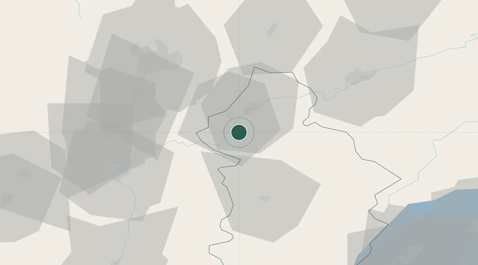
Hub Profile
Place type
Populated place
Region
Bourgogne
Population
493
Time zone
Europe/Paris
Elevation
200 m
Location
Nearby Logistics Neighbours
Cities
- 1Foucherans11 km
- 2Dole13 km
- 3Monnières15 km
- 4Montagny-lès-Seurre16 km
- 5Laperrière-sur-Saône16 km
Ports
- 1Savona380 km
- 2Rada Di Vado382 km
- 3Nice392 km
- 4Monaco393 km
- 5Villefranche393 km
Airports
Trade Zones
DatabookThe Record of Consolidated Knowledge
France beyond logistics?