Transport Functions
Road
Multimodal
Hub Profile
Region
46
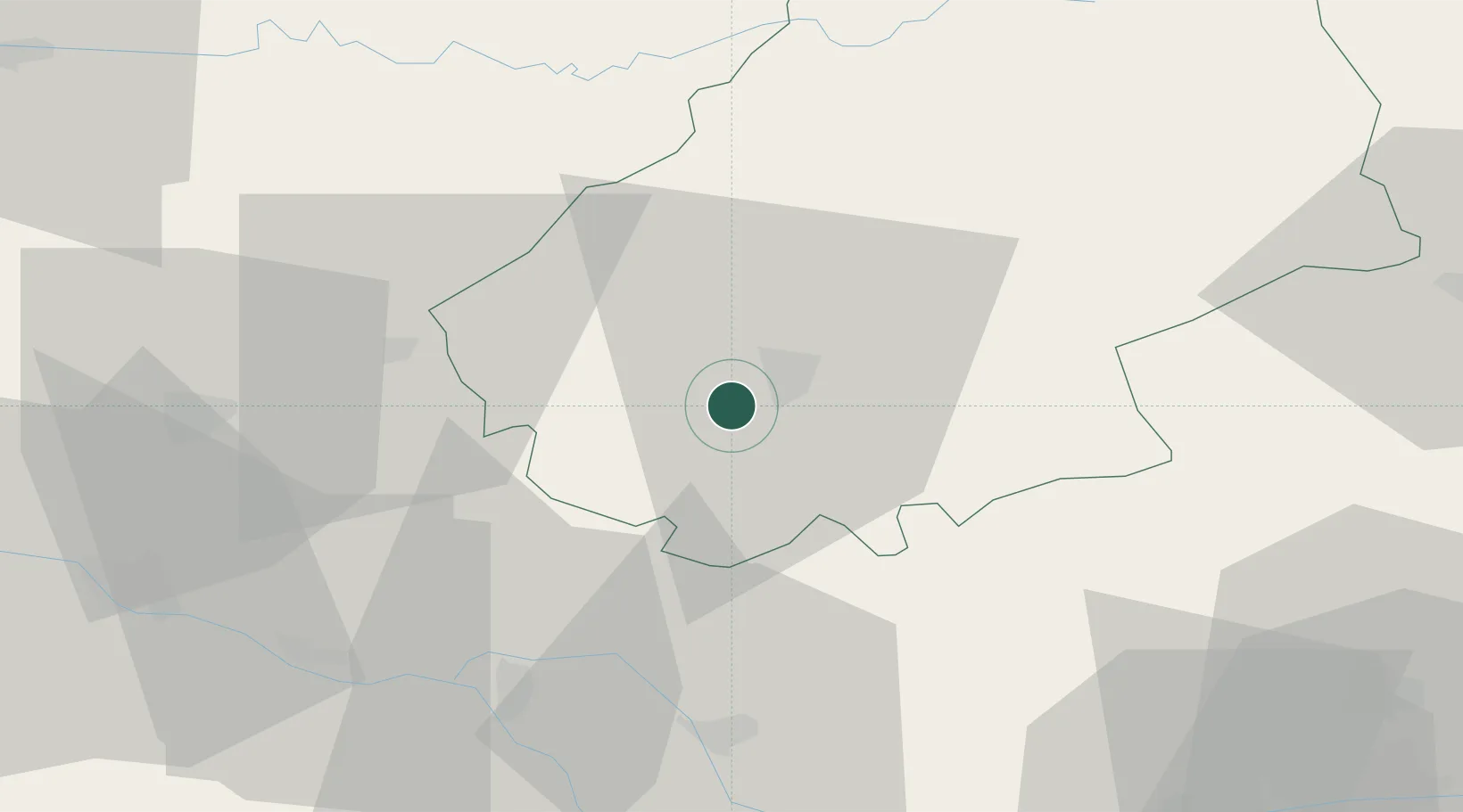
Location
Nearby Logistics Neighbours
Ports
- 1Bordeaux161 km
- 2Ambes164 km
- 3Blaye179 km
- 4Pauillac188 km
- 5Port-La-Nouvelle207 km
Airports
Trade Zones
- 1ZFU Toulouse91 km
- 2Port de Bordeaux160 km
- 3ZFU Hauts de Garonne161 km
- 4ZFU Béziers191 km
- 5ZFU Clermont-Ferrand203 km
DatabookThe Record of Consolidated Knowledge
France beyond logistics?