Transport Functions
Rail
Road
Hub Profile
Place type
Populated place
Region
Occitanie
Population
672
Time zone
Europe/Paris
Elevation
232 m
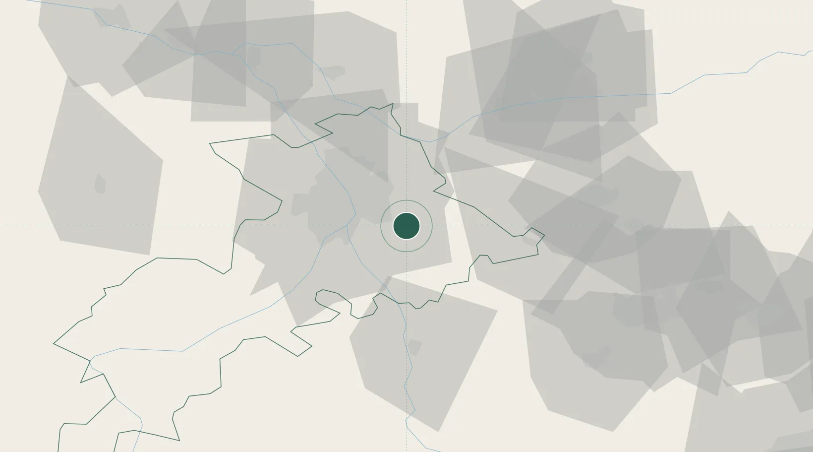
Location
Nearby Logistics Neighbours
Cities
- 1Belberaud3 km
- 2Lauzerville5 km
- 3Labège6 km
- 4Deyme7 km
- 5Pompertuzat7 km
Ports
- 1Port-La-Nouvelle131 km
- 2Port-Vendres166 km
- 3Sete170 km
- 4Rosas190 km
- 5Palamos225 km
Airports
Trade Zones
- 1ZFU Toulouse16 km
- 2ZFU Béziers132 km
- 3ZFU Perpignan139 km
- 4ZFU Montpellier181 km
- 5ZFU Nîmes223 km
DatabookThe Record of Consolidated Knowledge
France beyond logistics?