Transport Functions
Multimodal
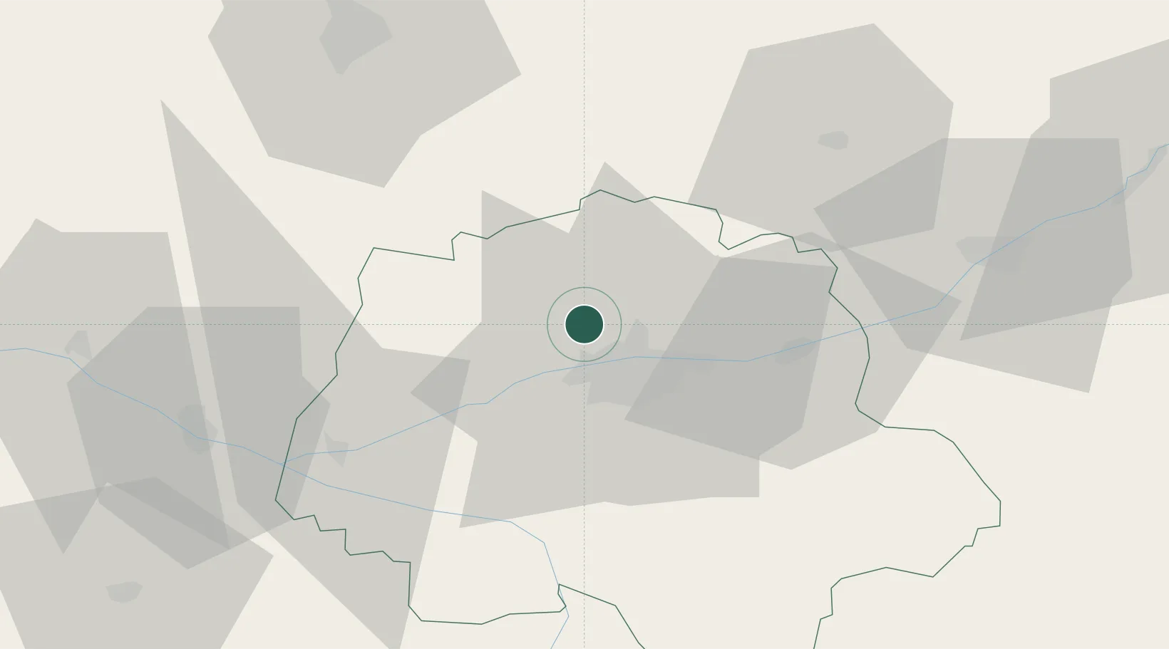
Hub Profile
Place type
Populated place
Region
Centre-Val de Loire
Population
1,039
Time zone
Europe/Paris
Elevation
91 m
Location
Nearby Logistics Neighbours
Cities
- 1Mettray2 km
- 2Notre-Dame-d'Oé8 km
- 3Tours12 km
- 4Beaumont-la-Ronce12 km
- 5Linières-Bouton16 km
Ports
- 1Nantes167 km
- 2La Rochelle199 km
- 3La Pallice201 km
- 4Port De Caen204 km
- 5Tonnay Charente206 km
Airports
- 1Tours Val de Loire Airport9 km
- 2Le Mans-Arnage Airport62 km
- 3Angers Marcé airport71 km
- 4Châteaudun Airfield87 km
- 5Poitiers-Biard Airport101 km
Trade Zones
- 1ZFU Blois51 km
- 2ZFU Le Mans68 km
- 3ZFU Angers91 km
- 4ZFU Orléans102 km
- 5ZFU Alençon114 km
DatabookThe Record of Consolidated Knowledge
France beyond logistics?