UN/LOCODE hub · France
FRBU3
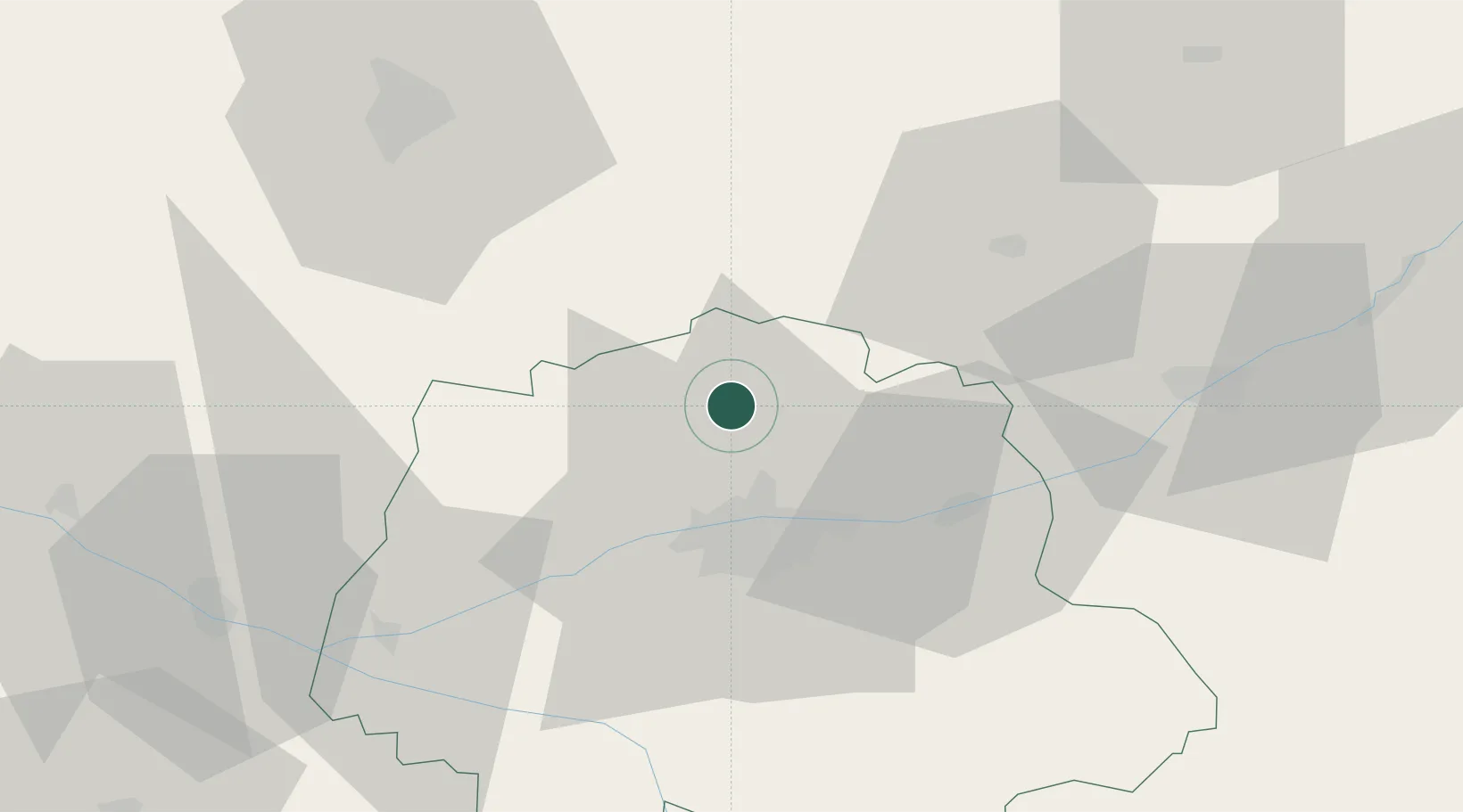
Beaumont-la-Ronce
47.5667°, 0.6667°
1,034
Population
2
Transport functions
Transport Functions
Road
Multimodal
Hub Profile
Place type
Populated place
Region
Centre-Val de Loire
Population
1,034
Time zone
Europe/Paris
Elevation
118 m
Location
Nearby Logistics Neighbours
Cities
- 1Charentilly12 km
- 2Bueil-en-Touraine13 km
- 3Mettray14 km
- 4Notre-Dame-d'Oé14 km
- 5Montrouveau15 km
Ports
- 1Nantes173 km
- 2Port De Caen195 km
- 3Ouistreham203 km
- 4Deauville205 km
- 5Honfleur208 km
Airports
- 1Tours Val de Loire Airport16 km
- 2Le Mans-Arnage Airport55 km
- 3Angers Marcé airport74 km
- 4Châteaudun Airfield76 km
- 5Orléans-Bricy (BA 123) Air Base94 km
Trade Zones
- 1ZFU Blois45 km
- 2ZFU Le Mans61 km
- 3ZFU Orléans94 km
- 4ZFU Angers95 km
- 5ZFU Alençon106 km
DatabookThe Record of Consolidated Knowledge
France beyond logistics?