Transport Functions
Road
Multimodal
Hub Profile
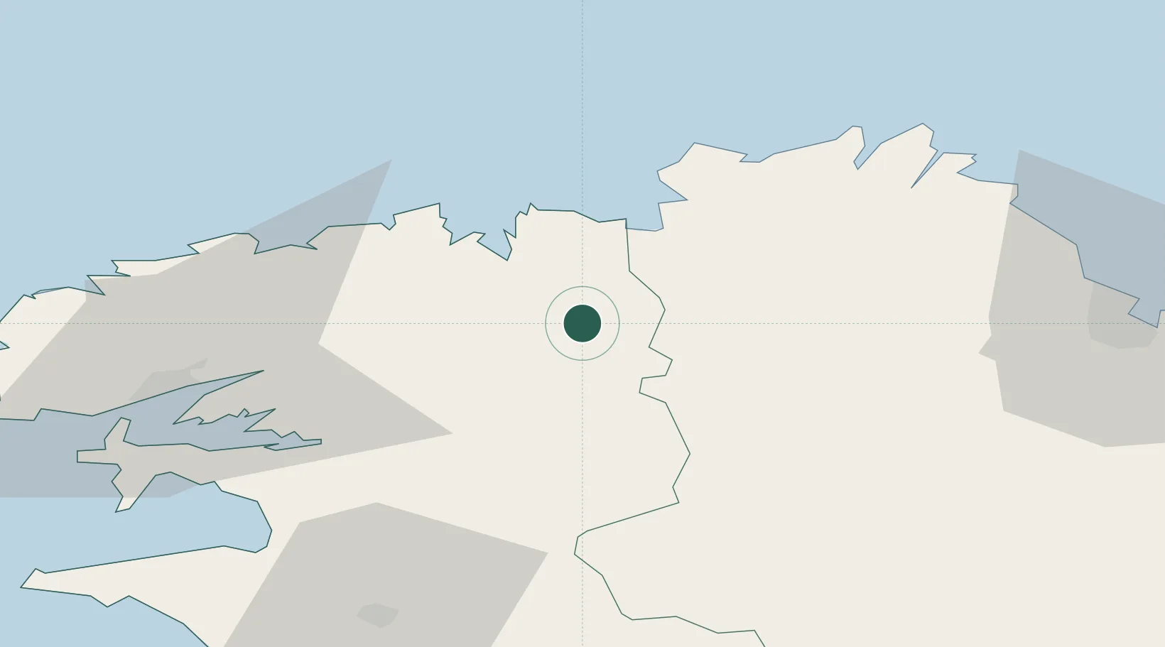
Place type
Populated place
Region
Brittany
Population
3,261
Time zone
Europe/Paris
Elevation
171 m
Location
Nearby Logistics Neighbours
Cities
- 1Morlaix11 km
- 2Plouegat-Guérand12 km
- 3Plouezoc'h15 km
- 4Guimaëc17 km
- 5Lanvenegen20 km
Ports
- 1Morlaix11 km
- 2Port De Roscoff-Bloscon31 km
- 3Treguier46 km
- 4Pontrieux47 km
- 5Lezardrieux55 km
Airports
- 1Morlaix-Ploujean Airport12 km
- 2Lannion Airport32 km
- 3Landivisiau Air Base32 km
- 4Brest Bretagne airport52 km
- 5Lanvéoc-Poulmic Air Base60 km
Trade Zones
- 1ZFU Saint-Nazaire175 km
- 2ZFU Cherbourg-Octeville195 km
- 3ZFU Nantes et Saint-Herblain208 km
- 4Oceansgate Plymouth209 km
- 5Heart of the South West Enterprise Zone211 km
DatabookThe Record of Consolidated Knowledge
France beyond logistics?