Transport Functions
Rail
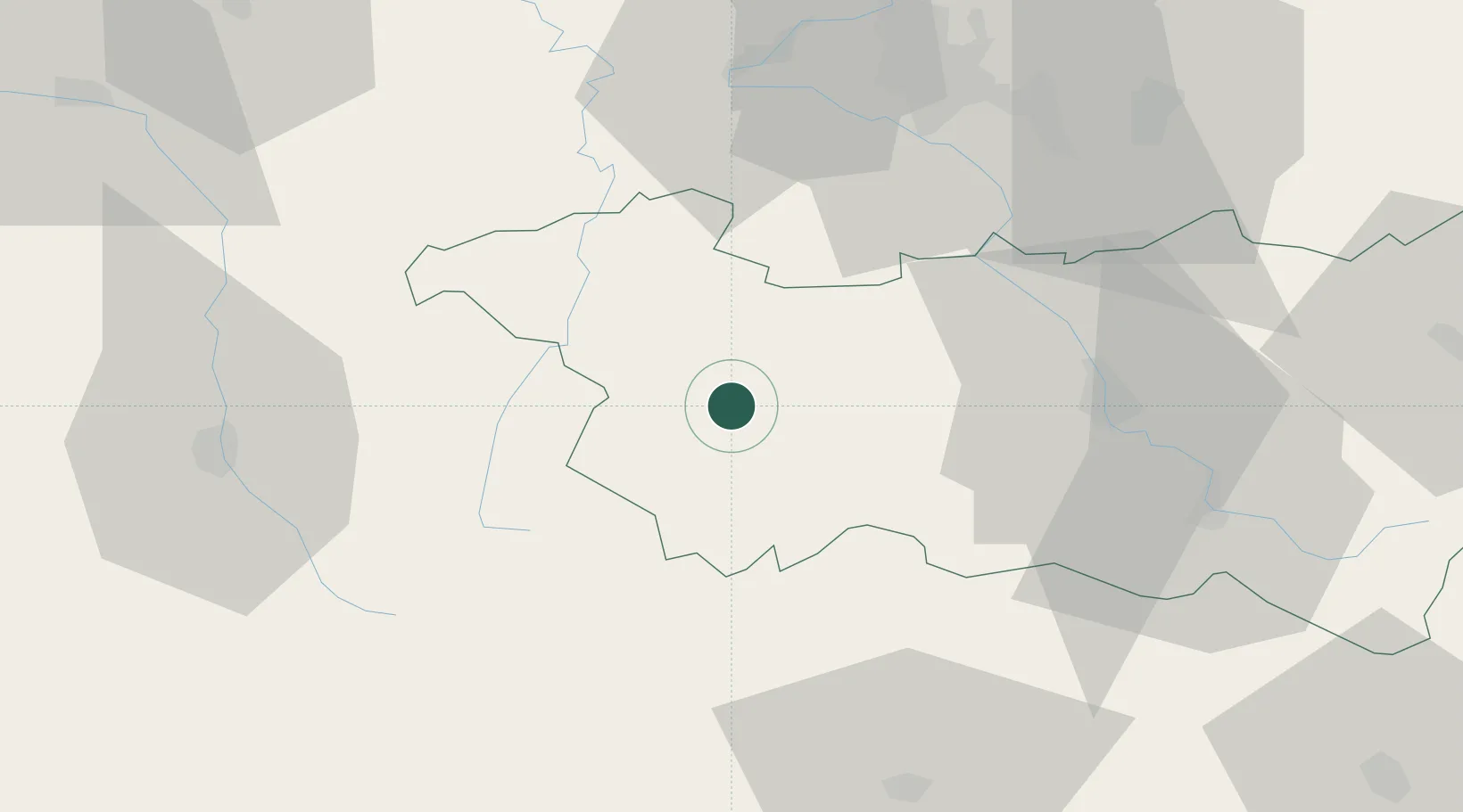
Hub Profile
Place type
Populated place
Region
Grand Est
Population
4,181
Time zone
Europe/Paris
Elevation
350 m
Location
Nearby Logistics Neighbours
Cities
- 1Vittel4 km
- 2Bulgnéville6 km
- 3Auzainvilliers7 km
- 4Châtenois14 km
- 5Certilleux19 km
Airports
Trade Zones
- 1ZFU Maxéville, Laxou, et de Nancy61 km
- 2ZFU Belfort90 km
- 3ZFU Saint-Dizier91 km
- 4ZFU Montbéliard100 km
- 5ZFU Metz104 km
DatabookThe Record of Consolidated Knowledge
France beyond logistics?