Transport Functions
Rail
Road
Hub Profile
Place type
Populated place
Region
Occitanie
Population
354
Time zone
Europe/Paris
Elevation
145 m
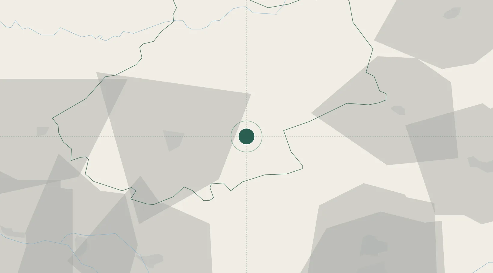
Location
Nearby Logistics Neighbours
Cities
- 1Cajarc12 km
- 2Bellefont-La Rauze18 km
- 3Cahors21 km
- 4Le Montat22 km
- 5Fontanes23 km
Ports
- 1Bordeaux185 km
- 2Ambes187 km
- 3Port-La-Nouvelle195 km
- 4Sete199 km
- 5Blaye201 km
Airports
- 1Cahors Lalbenque airport22 km
- 2Rodez–Aveyron Airport63 km
- 3Brive Souillac airport66 km
- 4Albi Le Sequestre airport70 km
- 5Aurillac airport74 km
Trade Zones
- 1ZFU Toulouse98 km
- 2ZFU Béziers175 km
- 3ZFU Clermont-Ferrand182 km
- 4Port de Bordeaux184 km
- 5ZFU Hauts de Garonne185 km
DatabookThe Record of Consolidated Knowledge
France beyond logistics?