Transport Functions
Road
Multimodal
Hub Profile
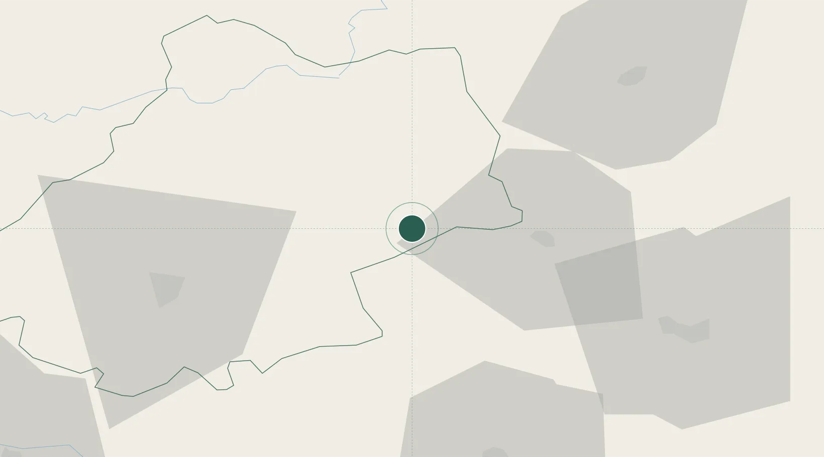
Place type
Populated place
Region
Occitanie
Population
671
Time zone
Europe/Paris
Elevation
288 m
Location
Nearby Logistics Neighbours
Cities
- 1Capdenac-Gare9 km
- 2Cajarc15 km
- 3Bagnac-sur-Célé18 km
- 4Saint-Rémy21 km
- 5Savignac24 km
Ports
- 1Sete191 km
- 2Port-La-Nouvelle195 km
- 3Bordeaux203 km
- 4Ambes203 km
- 5Blaye216 km
Airports
- 1Rodez–Aveyron Airport45 km
- 2Cahors Lalbenque airport47 km
- 3Aurillac airport50 km
- 4Brive Souillac airport63 km
- 5Albi Le Sequestre airport75 km
Trade Zones
- 1ZFU Toulouse117 km
- 2ZFU Clermont-Ferrand160 km
- 3ZFU Béziers171 km
- 4ZFU Montpellier185 km
- 5Port de Bordeaux201 km
DatabookThe Record of Consolidated Knowledge
France beyond logistics?