UN/LOCODE hub · France
FRG87

Saint-Laurent-sur-Gorre
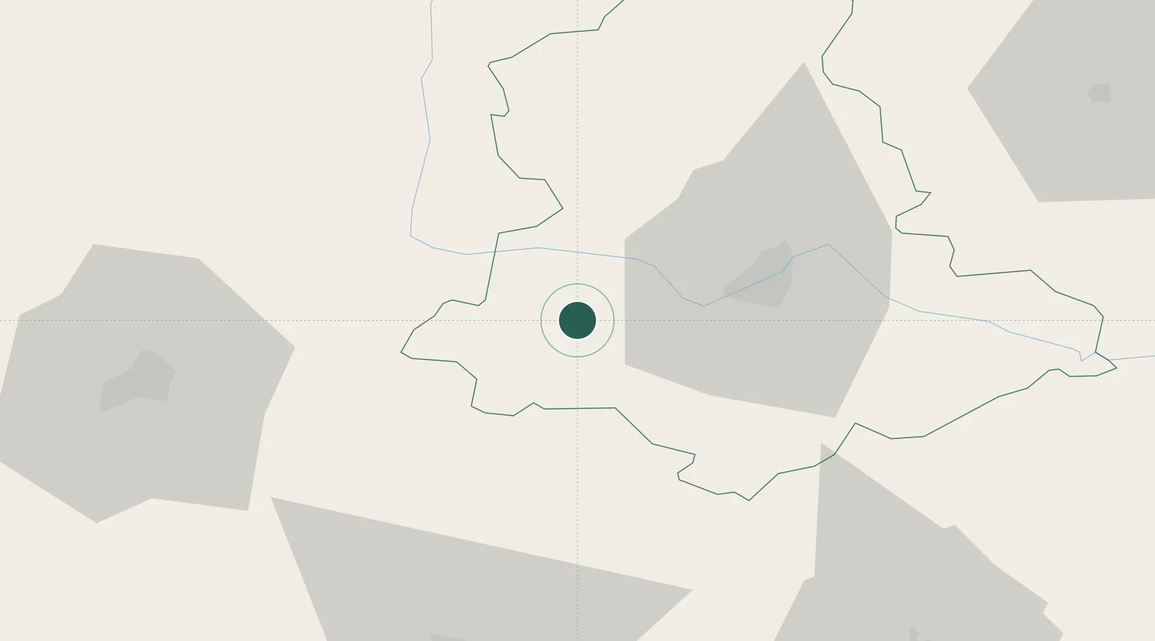
45.7667°, 0.9500°
1,513
Population
1
Transport functions

Transport Functions

Multimodal
UN/LOCODE

Hub Profile

Place type
Populated place
GeoNames
Region
Nouvelle-Aquitaine
GeoNames
Population
1,513
GeoNames
Time zone
Europe/Paris
GeoNames
Elevation
261 m
GeoNames

Location

Location of FRG87
Natural Earth 10m (public domain) · Nouvelle-Aquitaine · FRG87 · 45.77, 0.95GoogleOSMYandex

Nearby Logistics Neighbours

Cities
  1. 1Champsac7 km
  2. 2Oradour-sur-Vayres8 km
  3. 3Châlus13 km
  4. 4Aixe-sur-Vienne15 km
  5. 5Verneuil-sur-Vienne17 km
Nearest neighbours — logibook spatial index (haversine) over the source coordinates
Ports
  1. 1Ambes143 km
  2. 2Blaye144 km
  3. 3Tonnay Charente145 km
  4. 4Pauillac147 km
  5. 5Rochefort148 km
Nearest neighbours — logibook spatial index (haversine) over the source coordinates
Airports
  1. 1Limoges Airport21 km
  2. 2Angoulême Brie-Champniers airport57 km
  3. 3Périgueux-Bassillac Airport64 km
  4. 4Brive Souillac airport91 km
  5. 5Cognac-Châteaubernard (BA 709) Air Base99 km
Nearest neighbours — logibook spatial index (haversine) over the source coordinates
Trade Zones
  1. 1Port de Bordeaux150 km
  2. 2ZFU Hauts de Garonne159 km
  3. 3ZFU Clermont-Ferrand165 km
  4. 4ZFU La Rochelle173 km
  5. 5ZFU Bourges180 km
Nearest neighbours — logibook spatial index (haversine) over the source coordinates
DatabookThe Record of Consolidated Knowledge
France beyond logistics?
Browse databook

All Sources

LocationsUN/LOCODE
UN/LOCODE — free
LocationsGeoNames
CC BY 4.0
Portsthe NGA World Port Index
Public domain (US gov)
AirportsOurAirports
Public domain
Trade Zonesthe World Bank SEZ database
CC BY 4.0
Trade ZonesOpen Zone Map
CC BY
← France locations