Transport Functions
Rail
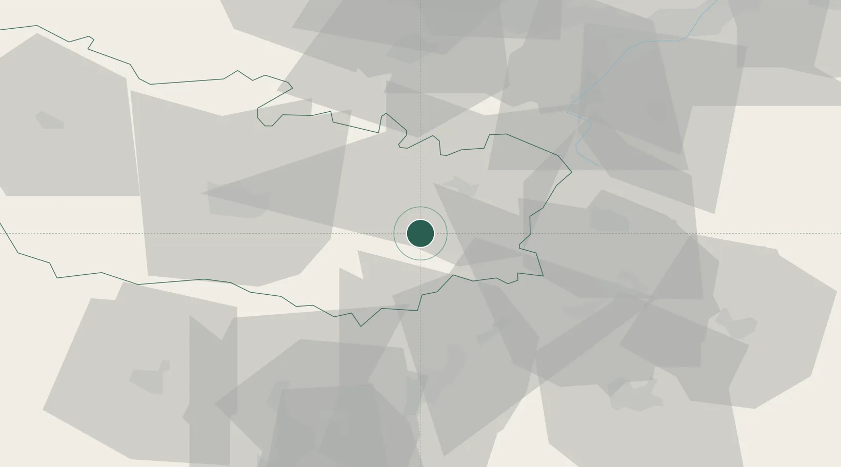
Hub Profile
Place type
Populated place
Region
Hauts-de-France
Population
1,957
Time zone
Europe/Paris
Elevation
103 m
Location
Nearby Logistics Neighbours
Cities
- 1Berny-en-Santerre7 km
- 2Dompierre-Becquincourt9 km
- 3Barleux10 km
- 4Harbonnières10 km
- 5Saint-Christ-Briost10 km
Ports
- 1Saint-Valery-Sur-Somme94 km
- 2Le Treport106 km
- 3Dieppe124 km
- 4Port Of Rouen131 km
- 5Boulogne-Sur-Mer133 km
Airports
- 1Péronne Saint-Quentin Airfield18 km
- 2Amiens Glisy Airfield30 km
- 3Beauvais-Tillé airport64 km
- 4Creil Air Base66 km
- 5Valenciennes-Denain Airfield74 km
DatabookThe Record of Consolidated Knowledge
France beyond logistics?