Transport Functions
Multimodal
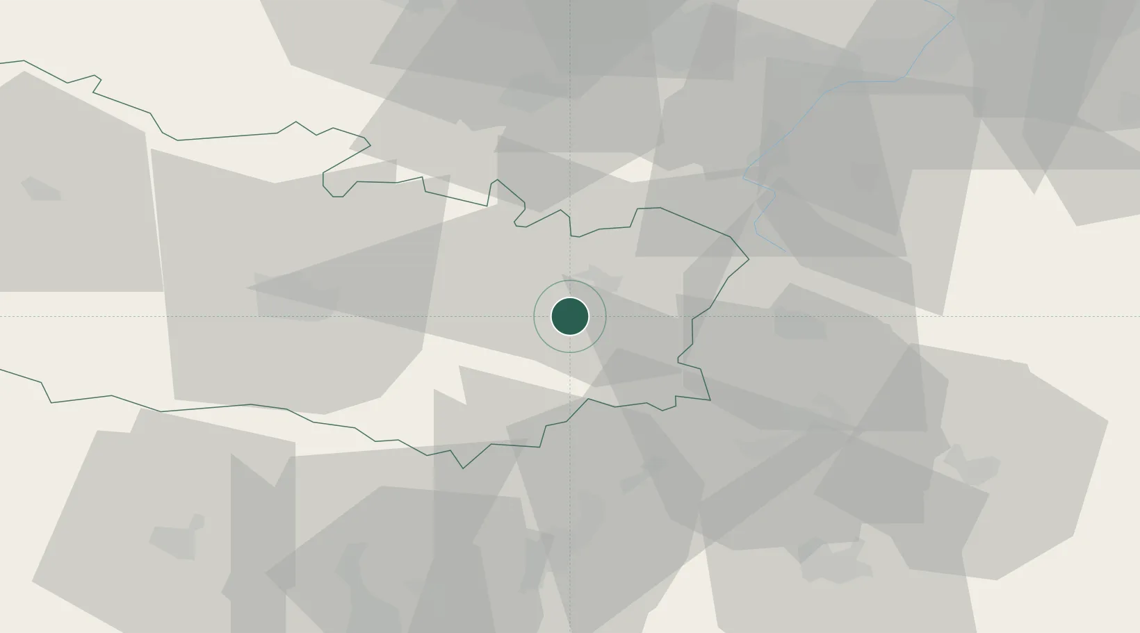
Hub Profile
Place type
Populated place
Region
Hauts-de-France
Population
137
Time zone
Europe/Paris
Elevation
77 m
Location
Nearby Logistics Neighbours
Cities
- 1Barleux3 km
- 2Dompierre-Becquincourt5 km
- 3Flaucourt6 km
- 4Saint-Christ-Briost6 km
- 5Chaulnes7 km
Ports
- 1Saint-Valery-Sur-Somme95 km
- 2Le Treport108 km
- 3Dieppe127 km
- 4Boulogne-Sur-Mer131 km
- 5Gravelines136 km
Airports
- 1Péronne Saint-Quentin Airfield13 km
- 2Amiens Glisy Airfield33 km
- 3Valenciennes-Denain Airfield67 km
- 4Beauvais-Tillé airport70 km
- 5Creil Air Base72 km
DatabookThe Record of Consolidated Knowledge
France beyond logistics?