Transport Functions
Multimodal
Hub Profile
Place type
Populated place
Region
Hauts-de-France
Time zone
Europe/Paris
Elevation
81 m
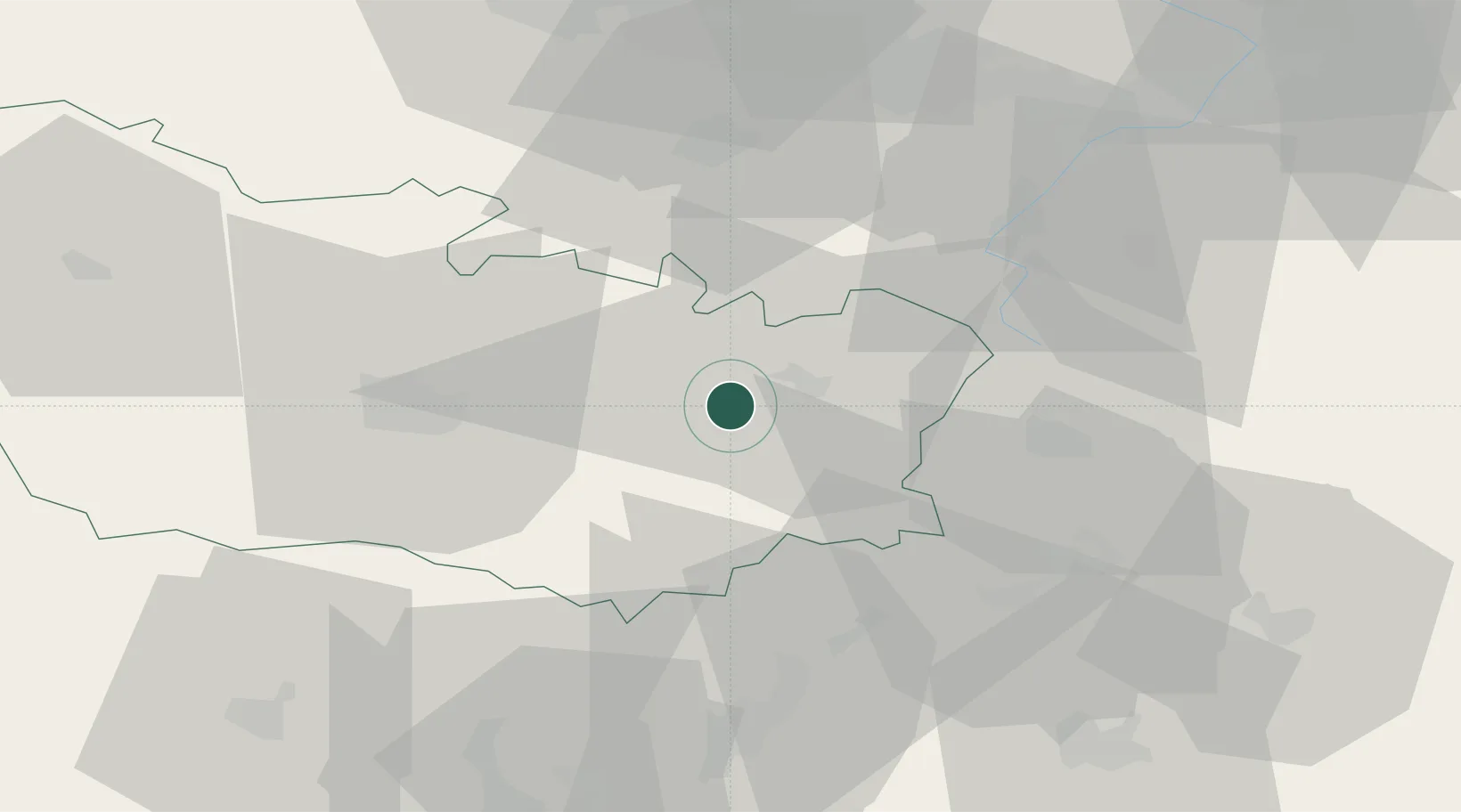
Location
Nearby Logistics Neighbours
Cities
- 1Flaucourt5 km
- 2Berny-en-Santerre5 km
- 3Feuillères6 km
- 4Barleux6 km
- 5Biaches9 km
Ports
- 1Saint-Valery-Sur-Somme90 km
- 2Le Treport104 km
- 3Dieppe123 km
- 4Boulogne-Sur-Mer126 km
- 5Gravelines132 km
Airports
DatabookThe Record of Consolidated Knowledge
France beyond logistics?