Transport Functions
Multimodal
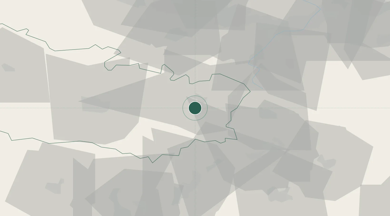
Hub Profile
Place type
Populated place
Region
Hauts-de-France
Population
301
Time zone
Europe/Paris
Elevation
57 m
Location
Nearby Logistics Neighbours
Cities
- 1Berny-en-Santerre3 km
- 2Flaucourt4 km
- 3Biaches4 km
- 4Saint-Christ-Briost5 km
- 5Dompierre-Becquincourt6 km
Ports
- 1Saint-Valery-Sur-Somme96 km
- 2Le Treport110 km
- 3Dieppe129 km
- 4Boulogne-Sur-Mer131 km
- 5Gravelines136 km
Airports
- 1Péronne Saint-Quentin Airfield11 km
- 2Amiens Glisy Airfield36 km
- 3Valenciennes-Denain Airfield64 km
- 4Beauvais-Tillé airport73 km
- 5Creil Air Base75 km
DatabookThe Record of Consolidated Knowledge
France beyond logistics?