Transport Functions
Rail
Road
Hub Profile
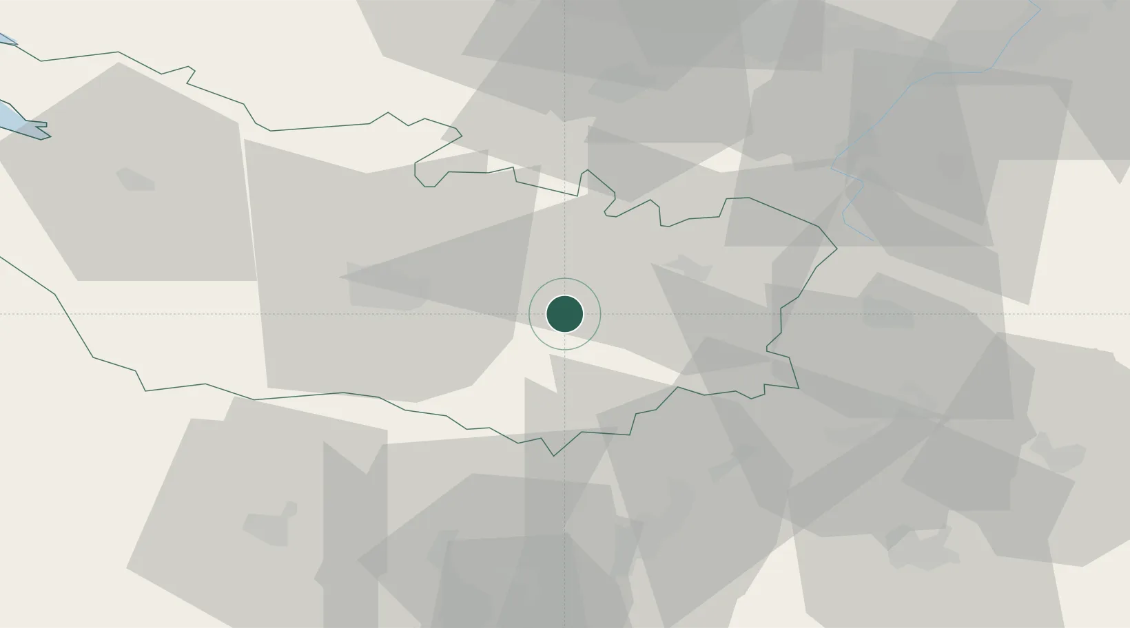
Place type
Populated place
Region
Hauts-de-France
Population
1,325
Time zone
Europe/Paris
Elevation
89 m
Location
Nearby Logistics Neighbours
Cities
- 1Beaufort-en-Santerre7 km
- 2Chipilly8 km
- 3Chaulnes10 km
- 4Dompierre-Becquincourt11 km
- 5Méaulte13 km
Ports
- 1Saint-Valery-Sur-Somme84 km
- 2Le Treport96 km
- 3Dieppe114 km
- 4Port Of Rouen124 km
- 5Boulogne-Sur-Mer124 km
Airports
DatabookThe Record of Consolidated Knowledge
France beyond logistics?