Transport Functions
Multimodal
Hub Profile
Region
16
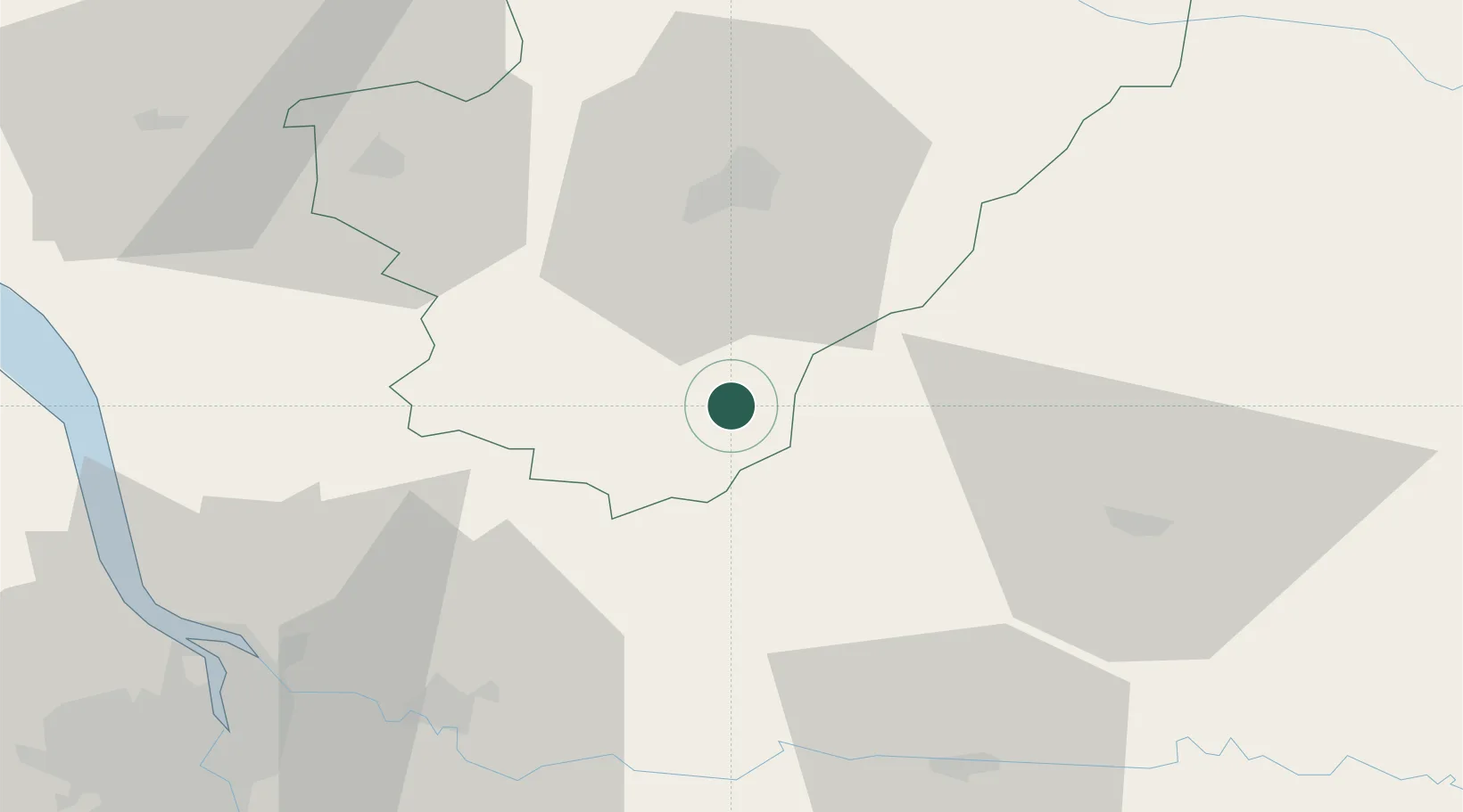
Location
Nearby Logistics Neighbours
Cities
- 1Montmoreau-Saint-Cybard6 km
- 2Chalais13 km
- 3Champagne-et-Fontaine14 km
- 4Verteillac16 km
- 5Berneuil19 km
Airports
Trade Zones
- 1Port de Bordeaux74 km
- 2ZFU Hauts de Garonne82 km
- 3ZFU La Rochelle140 km
- 4ZFU Toulouse219 km
- 5ZFU Clermont-Ferrand232 km
DatabookThe Record of Consolidated Knowledge
France beyond logistics?