Transport Functions
Multimodal
Hub Profile
Place type
Populated place
Region
Centre-Val de Loire
Population
1,133
Time zone
Europe/Paris
Elevation
82 m
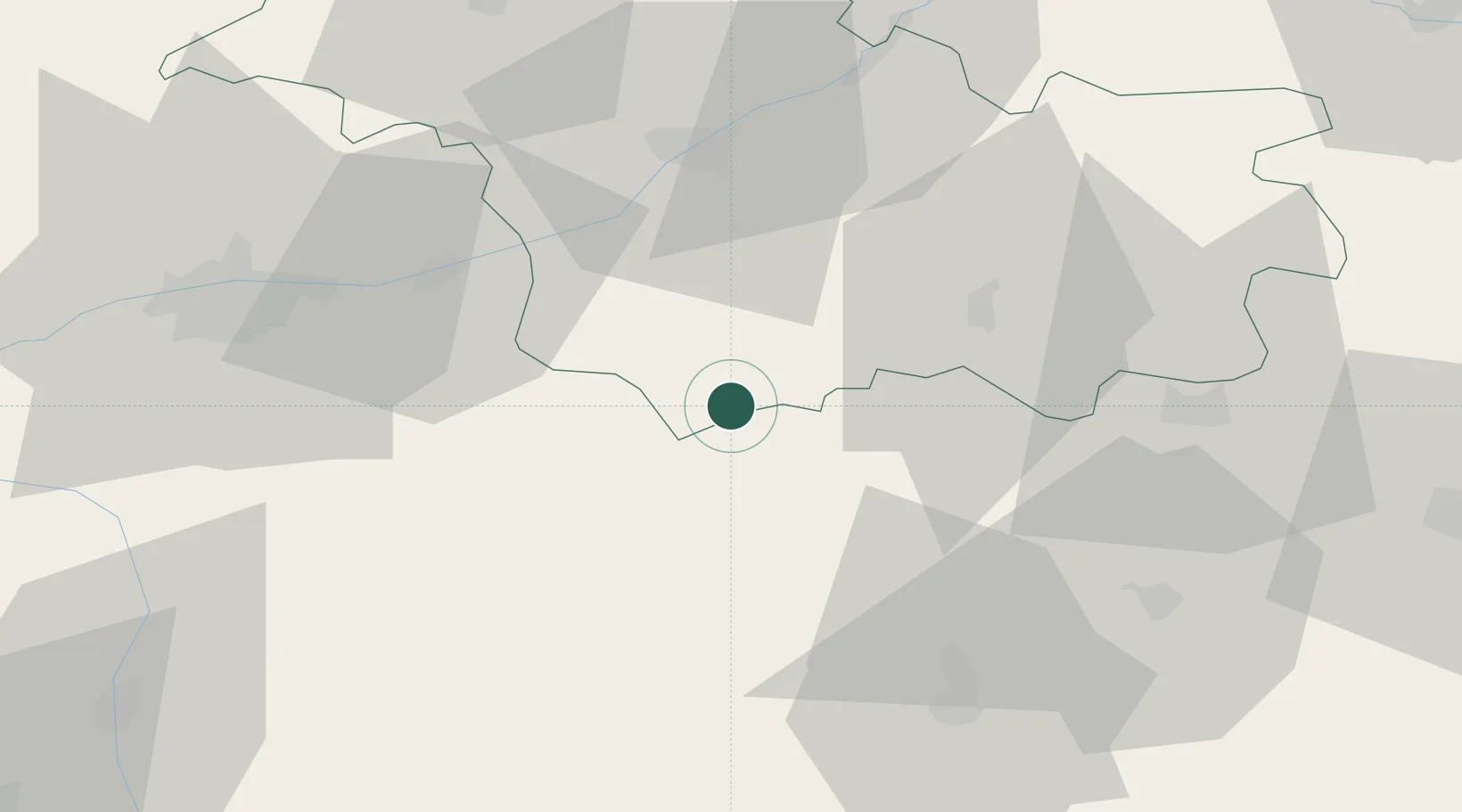
Location
Nearby Logistics Neighbours
Cities
- 1Châteauvieux2 km
- 2Couffy3 km
- 3Noyers-sur-Cher6 km
- 4Meusnes7 km
- 5Mareuil-sur-Cher8 km
Ports
- 1Nantes224 km
- 2Tonnay Charente228 km
- 3La Rochelle229 km
- 4Rochefort231 km
- 5La Pallice232 km
Airports
- 1Châteauroux Déols airport48 km
- 2Tours Val de Loire Airport55 km
- 3Bourges airport76 km
- 4Orléans-Bricy (BA 123) Air Base88 km
- 5Châteaudun Airfield92 km
Trade Zones
- 1ZFU Blois40 km
- 2ZFU Bourges72 km
- 3ZFU Orléans79 km
- 4ZFU Le Mans127 km
- 5ZFU Angers153 km
DatabookThe Record of Consolidated Knowledge
France beyond logistics?