Transport Functions
Rail
Road
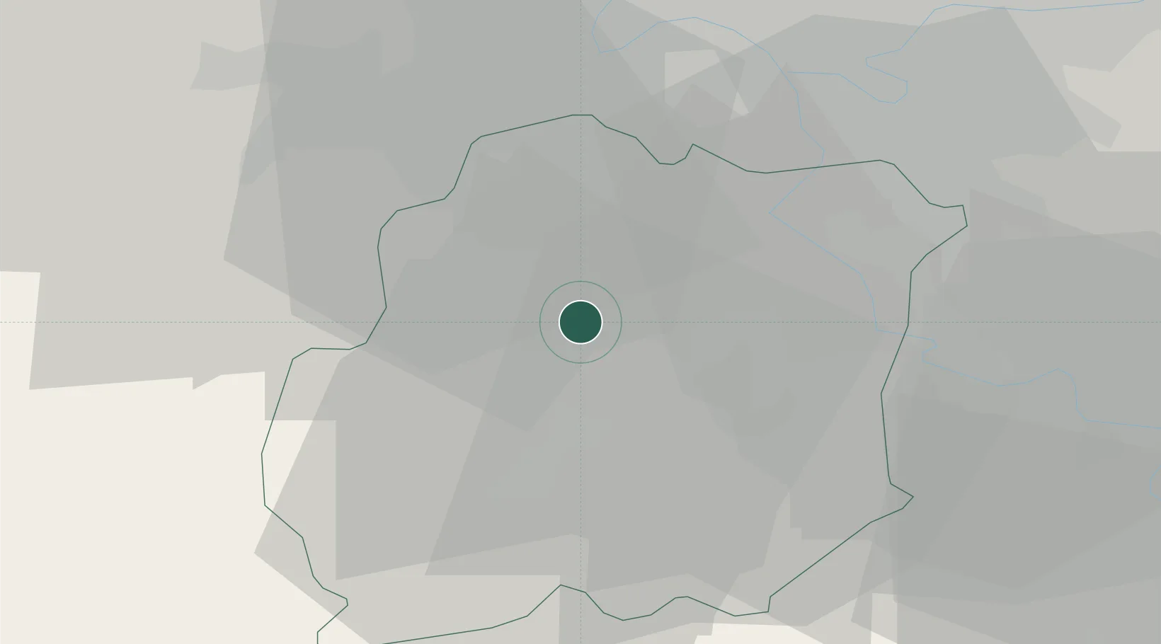
Hub Profile
Place type
Populated place
Region
Île-de-France
Population
5,259
Time zone
Europe/Paris
Elevation
85 m
Location
Nearby Logistics Neighbours
Cities
- 1Bruyères-le-Châtel2 km
- 2Saint-Germain-lès-Arpajon3 km
- 3Marolles-en-Hurepoix6 km
- 4Brétigny-sur-Orge7 km
- 5Longpont-sur-Orge7 km
Ports
- 1Port Of Rouen128 km
- 2Dieppe171 km
- 3Honfleur173 km
- 4Le Treport176 km
- 5Deauville178 km
Airports
Trade Zones
- 1ZFU Grigny Viry-Châtillon15 km
- 2ZFU Corbeil-Evry16 km
- 3ZFU Epinay-sous-Sénart24 km
- 4ZFU Choisy-le-Roi et Orly24 km
- 5ZFU Vitry-sur-Seine26 km
DatabookThe Record of Consolidated Knowledge
France beyond logistics?