Transport Functions
Multimodal
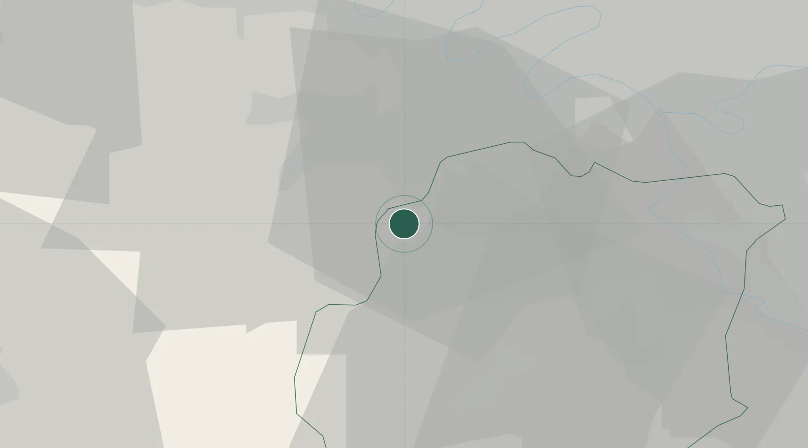
Hub Profile
Place type
Populated place
Region
Île-de-France
Population
1,756
Time zone
Europe/Paris
Elevation
174 m
Location
Nearby Logistics Neighbours
Cities
- 1Saint-Rémy-lès-Chevreuse4 km
- 2Bonnelles6 km
- 3Gif-sur-Yvette6 km
- 4Saint-Aubin7 km
- 5Châteaufort8 km
Ports
- 1Port Of Rouen114 km
- 2Dieppe158 km
- 3Honfleur159 km
- 4Le Treport164 km
- 5Deauville164 km
Airports
Trade Zones
- 1ZFU Trappes13 km
- 2ZFU Grigny Viry-Châtillon23 km
- 3ZFU Vitry-sur-Seine27 km
- 4ZFU Choisy-le-Roi et Orly27 km
- 5ZFU Corbeil-Evry28 km
DatabookThe Record of Consolidated Knowledge
France beyond logistics?