Transport Functions
Multimodal
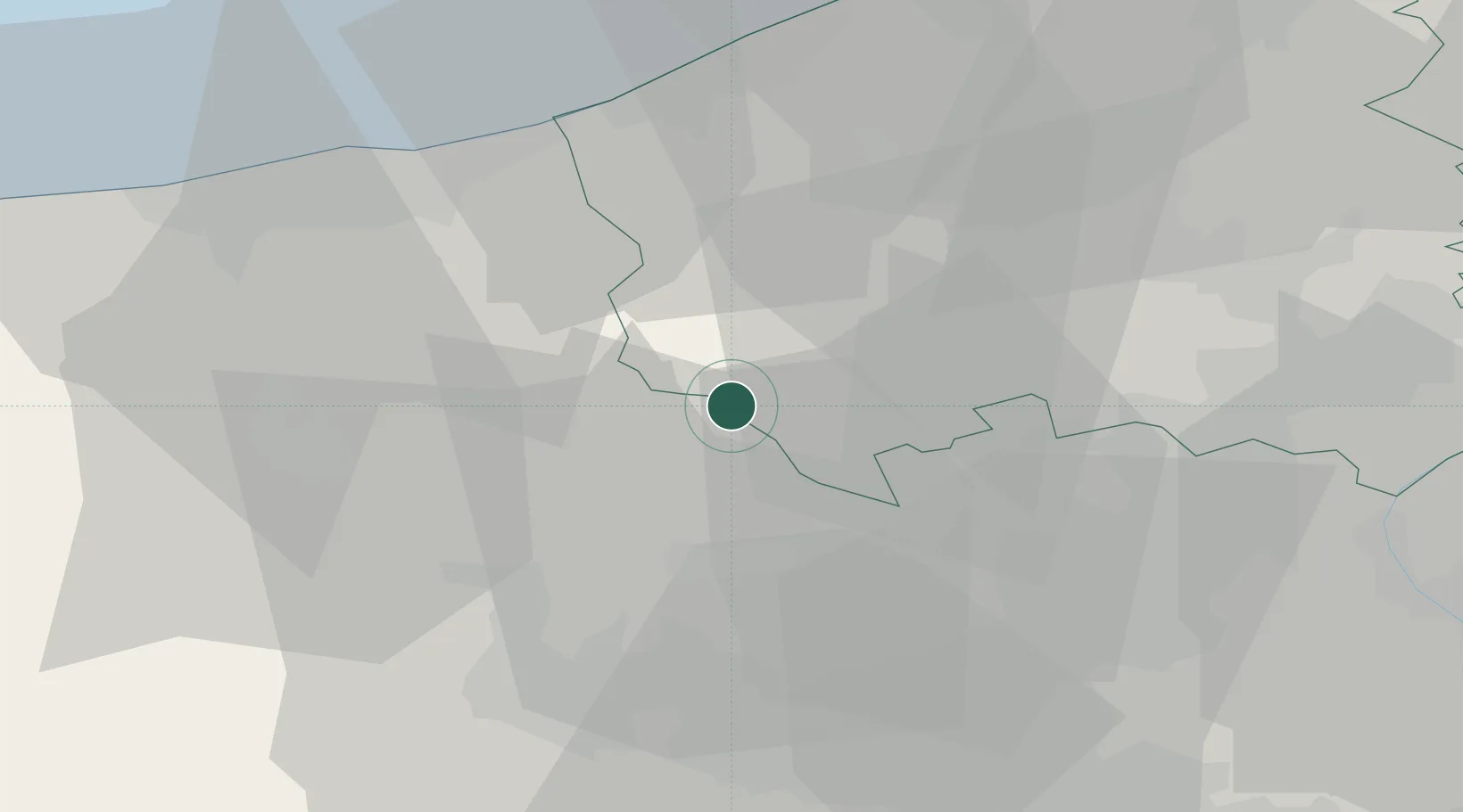
Hub Profile
Place type
Populated place
Region
Hauts-de-France
Population
2,067
Time zone
Europe/Paris
Elevation
55 m
Location
Nearby Logistics Neighbours
Cities
- 1Caëstre9 km
- 2Borre11 km
- 3Steenwerck13 km
- 4Sainte-Marie-Cappel13 km
- 5Roesbrugge14 km
Ports
- 1Nieuwpoort37 km
- 2Dunkerque Port Est39 km
- 3Gravelines47 km
- 4Oostende51 km
- 5Bruges60 km
Airports
Trade Zones
DatabookThe Record of Consolidated Knowledge
France beyond logistics?