UN/LOCODE hub · France
FRS59
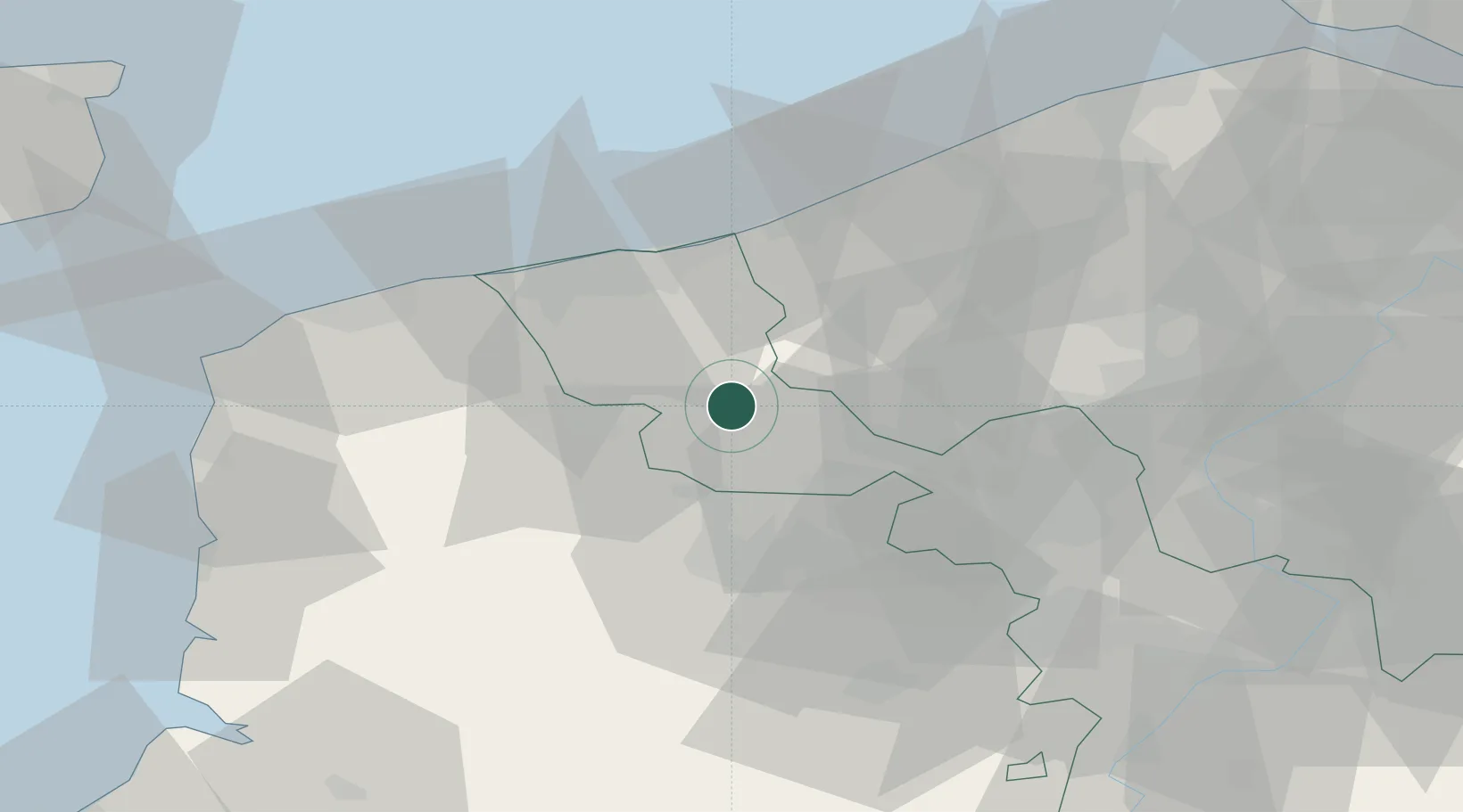
Sainte-Marie-Cappel
50.7833°, 2.5167°
704
Population
1
Transport functions
Transport Functions
Multimodal
Hub Profile
Place type
Populated place
Region
Hauts-de-France
Population
704
Time zone
Europe/Paris
Elevation
56 m
Location
Nearby Logistics Neighbours
Ports
- 1Dunkerque Port Est34 km
- 2Gravelines37 km
- 3Nieuwpoort42 km
- 4Calais51 km
- 5Oostende57 km
Airports
Trade Zones
DatabookThe Record of Consolidated Knowledge
France beyond logistics?