Transport Functions
Port
Road
Hub Profile
Place type
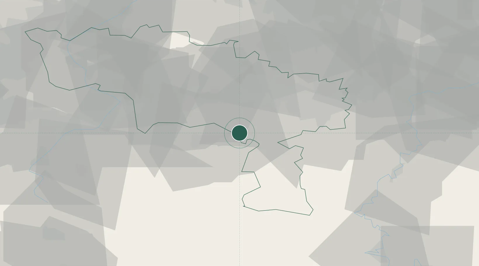
Populated place
Region
Wallonia
Population
9,396
Time zone
Europe/Brussels
Elevation
137 m
Location
Nearby Logistics Neighbours
Cities
- 1Solre-sur-Sambre1 km
- 2Jeumont3 km
- 3Labuissière4 km
- 4Boussois5 km
- 5Fontaine-Valmont6 km
Airports
- 1Brussels South Charleroi Airport30 km
- 2Chièvres Air Base37 km
- 3Florennes Air Base38 km
- 4Valenciennes-Denain Airfield47 km
- 5Beauvechain Air Base69 km
DatabookThe Record of Consolidated Knowledge
Belgium beyond logistics?