Transport Functions
Rail
Road
Hub Profile
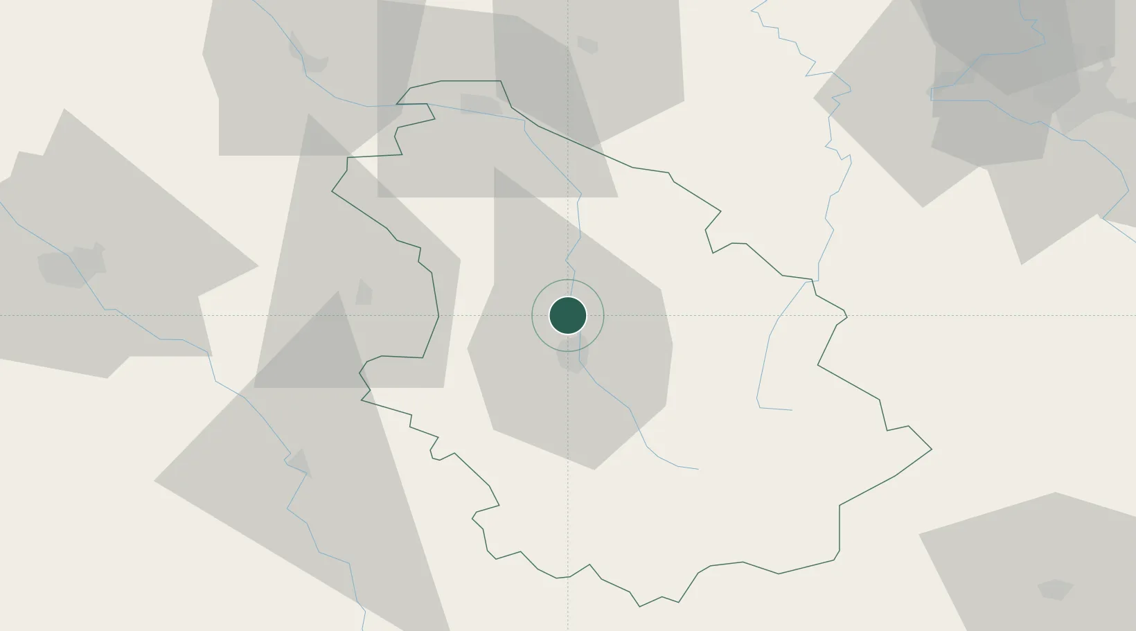
Place type
Populated place
Region
Grand Est
Population
1,897
Time zone
Europe/Paris
Elevation
250 m
Location
Nearby Logistics Neighbours
Cities
- 1Brethenay6 km
- 2Chaumont9 km
- 3Nogent11 km
- 4Froncles11 km
- 5Doulaincourt-Saucourt14 km
Airports
Trade Zones
DatabookThe Record of Consolidated Knowledge
France beyond logistics?