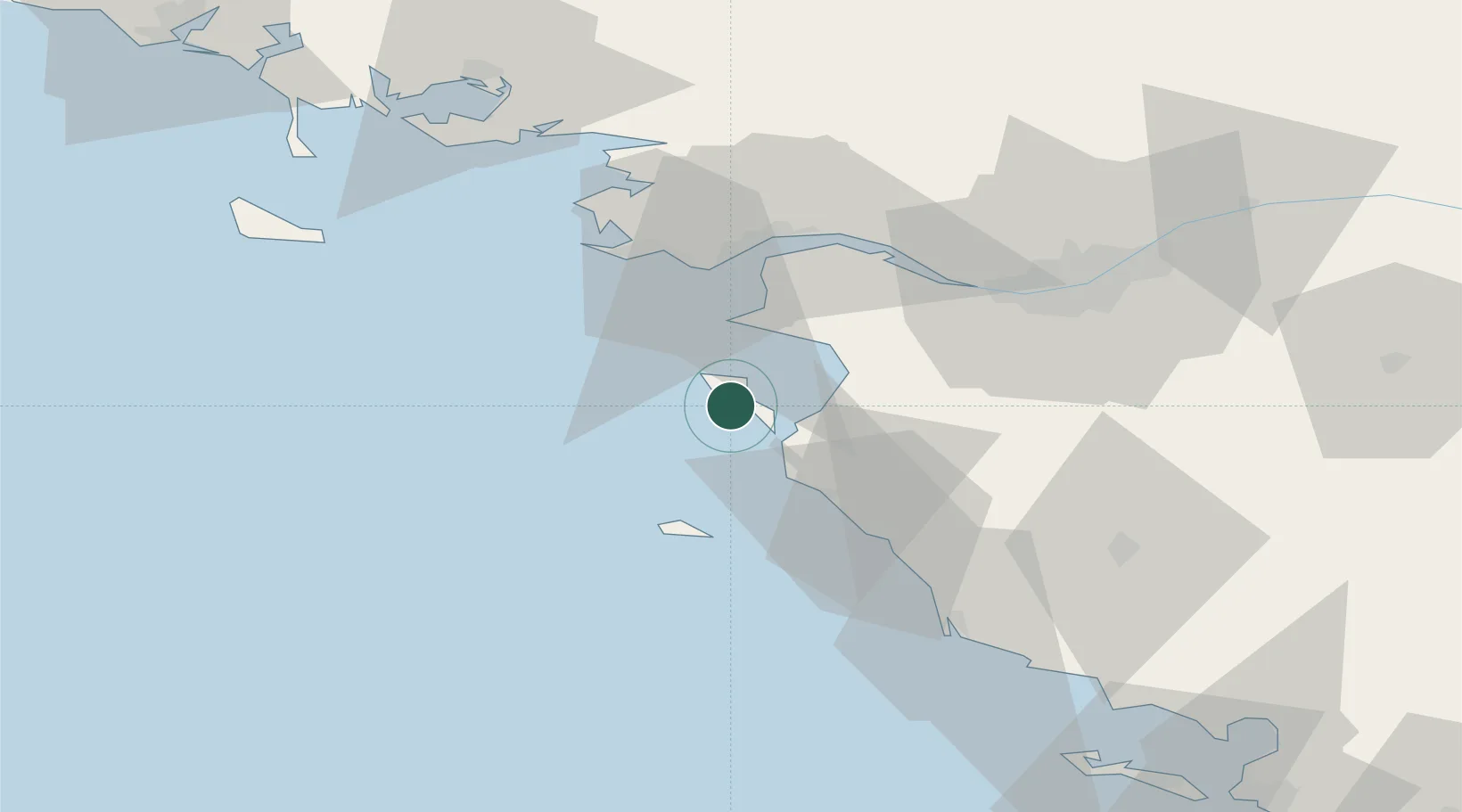
UN/LOCODE hub · France
FRBN4

Le Bonhomme

46.9667°, -2.2333°
1
Transport functions

Transport Functions

Port
UN/LOCODE

Hub Profile

Place type
Locality
GeoNames
Region
Brittany
GeoNames
Time zone
Europe/Paris
GeoNames
Elevation
26 m
GeoNames

Location

Location of FRBN4
Natural Earth 10m (public domain) · Brittany · FRBN4 · 46.97, -2.23GoogleOSMYandex

Nearby Logistics Neighbours

Cities
  1. 1Beauvoir-sur-Mer15 km
  2. 2Bouin18 km
  3. 3Préfailles19 km
  4. 4La Bernerie-en-Retz19 km
  5. 5Gravette19 km
Nearest neighbours — logibook spatial index (haversine) over the source coordinates
Ports
  1. 1St Nazaire35 km
  2. 2Montoir38 km
  3. 3Donges39 km
  4. 4Nantes57 km
  5. 5Les Sables D' Olonne62 km
Nearest neighbours — logibook spatial index (haversine) over the source coordinates
Airports
  1. 1Beauvoir Fromentine Airfield14 km
  2. 2Ile D'Yeu Port Joinville Heliport28 km
  3. 3Île d'Yeu Airport30 km
  4. 4La Baule-Escoublac Airport37 km
  5. 5Saint-Nazaire-Montoir Airport39 km
Nearest neighbours — logibook spatial index (haversine) over the source coordinates
Trade Zones
  1. 1ZFU Saint-Nazaire35 km
  2. 2ZFU Nantes et Saint-Herblain50 km
  3. 3ZFU La Rochelle119 km
  4. 4ZFU Angers136 km
  5. 5ZFU Le Mans210 km
Nearest neighbours — logibook spatial index (haversine) over the source coordinates
DatabookThe Record of Consolidated Knowledge
France beyond logistics?
Browse databook

All Sources

LocationsUN/LOCODE
UN/LOCODE — free
Portsthe NGA World Port Index
Public domain (US gov)
AirportsOurAirports
Public domain
Trade Zonesthe World Bank SEZ database
CC BY 4.0
Trade ZonesOpen Zone Map
CC BY
← France locations