Transport Functions
Multimodal
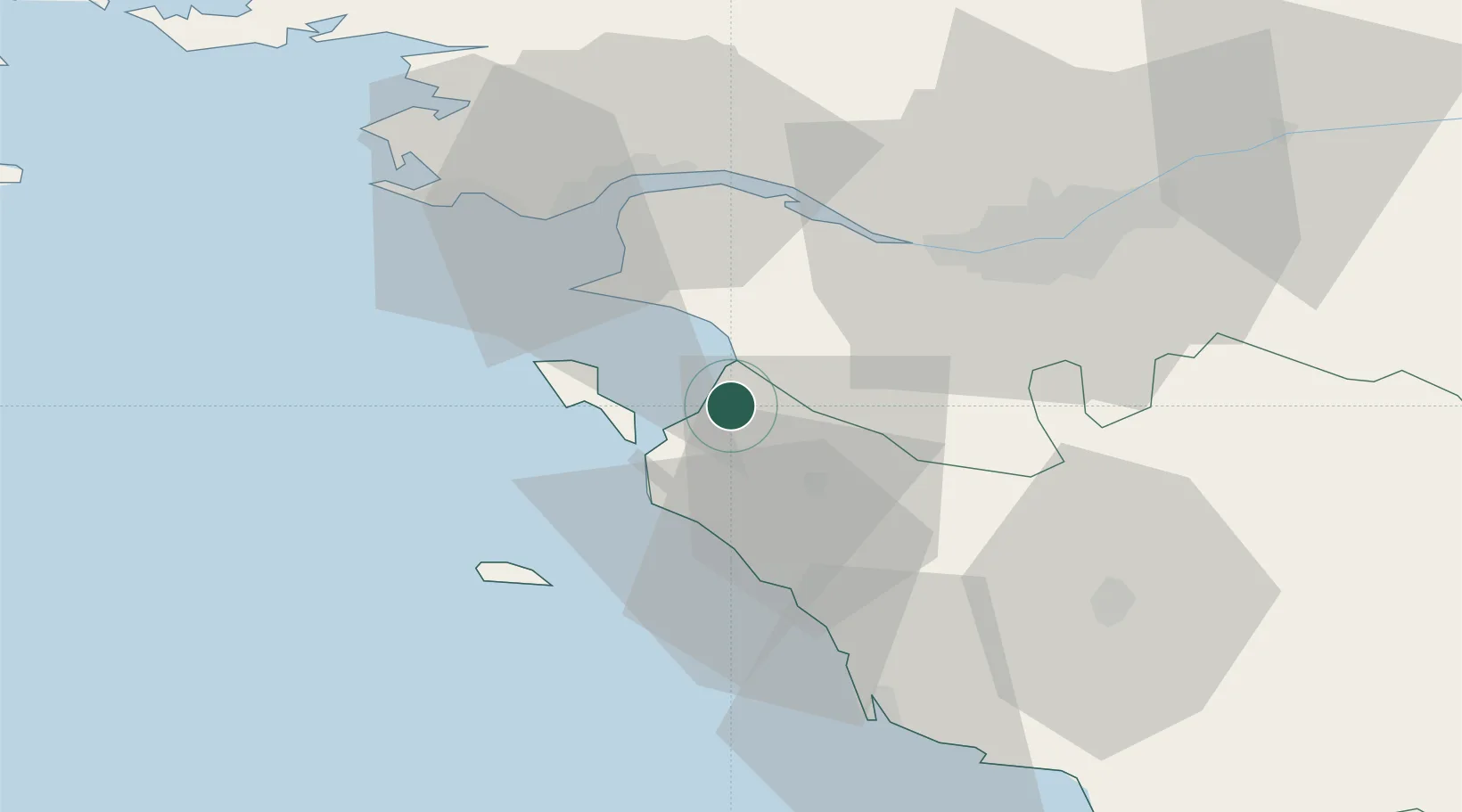
Hub Profile
Place type
Populated place
Region
Pays de la Loire
Population
2,385
Time zone
Europe/Paris
Elevation
7 m
Location
Nearby Logistics Neighbours
Cities
- 1Beauvoir-sur-Mer7 km
- 2Les Moutiers-en-Retz9 km
- 3La Bernerie-en-Retz11 km
- 4Sallertaine13 km
- 5Le Bonhomme18 km
Ports
- 1Donges37 km
- 2St Nazaire38 km
- 3Montoir38 km
- 4Nantes42 km
- 5Les Sables D' Olonne54 km
Airports
Trade Zones
- 1ZFU Nantes et Saint-Herblain37 km
- 2ZFU Saint-Nazaire40 km
- 3ZFU La Rochelle108 km
- 4ZFU Angers120 km
- 5ZFU Le Mans196 km
DatabookThe Record of Consolidated Knowledge
France beyond logistics?