UN/LOCODE hub · France
FRNRZ
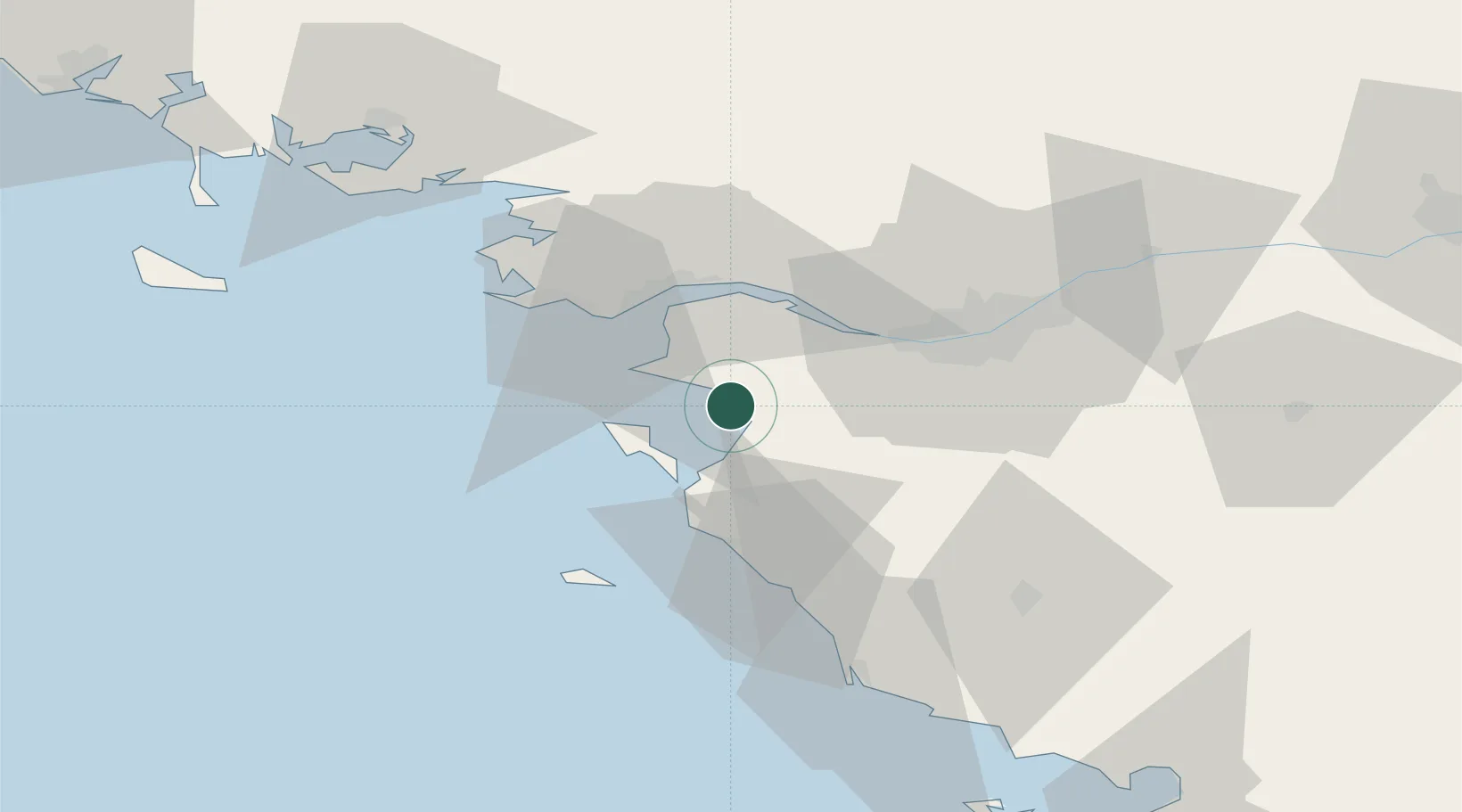
La Bernerie-en-Retz
47.0667°, -2.0333°
2,296
Population
2
Transport functions
Transport Functions
Road
Multimodal
Hub Profile
Place type
Populated place
Region
Pays de la Loire
Population
2,296
Time zone
Europe/Paris
Elevation
13 m
Location
Nearby Logistics Neighbours
Cities
- 1Les Moutiers-en-Retz3 km
- 2Pornic8 km
- 3Bouin11 km
- 4Gravette13 km
- 5Saint-Père-en-Retz15 km
Ports
- 1Donges26 km
- 2Montoir27 km
- 3St Nazaire27 km
- 4Nantes38 km
- 5Les Sables D' Olonne66 km
Airports
Trade Zones
- 1ZFU Saint-Nazaire30 km
- 2ZFU Nantes et Saint-Herblain31 km
- 3ZFU Angers118 km
- 4ZFU La Rochelle119 km
- 5ZFU Le Mans191 km
DatabookThe Record of Consolidated Knowledge
France beyond logistics?