UN/LOCODE hub · France
FRXBS
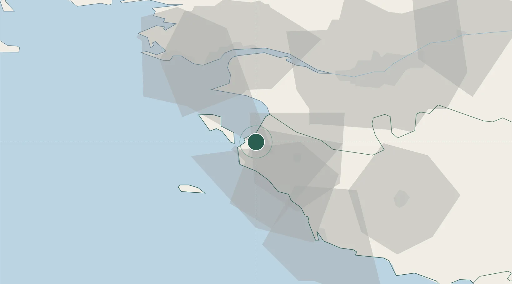
Beauvoir-sur-Mer
46.9167°, -2.0500°
3,625
Population
1
Transport functions
Transport Functions
Multimodal
Hub Profile
Place type
Populated place
Region
Pays de la Loire
Population
3,625
Time zone
Europe/Paris
Elevation
6 m
Location
Nearby Logistics Neighbours
Cities
- 1Bouin7 km
- 2Sallertaine10 km
- 3Saint-Jean-de-Monts15 km
- 4Le Bonhomme15 km
- 5Les Moutiers-en-Retz15 km
Ports
- 1St Nazaire42 km
- 2Donges43 km
- 3Montoir43 km
- 4Nantes48 km
- 5Les Sables D' Olonne50 km
Airports
Trade Zones
- 1ZFU Nantes et Saint-Herblain43 km
- 2ZFU Saint-Nazaire44 km
- 3ZFU La Rochelle106 km
- 4ZFU Angers126 km
- 5ZFU Le Mans202 km
DatabookThe Record of Consolidated Knowledge
France beyond logistics?