Transport Functions
Rail
Road
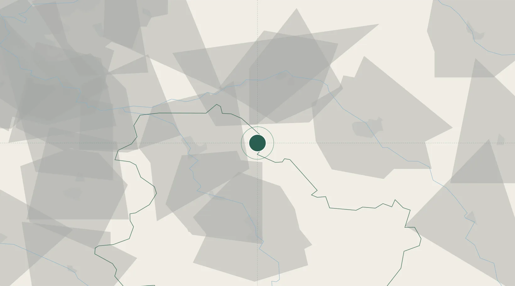
Hub Profile
Place type
Populated place
Region
Bourgogne
Population
221
Time zone
Europe/Paris
Elevation
122 m
Location
Nearby Logistics Neighbours
Cities
- 1Cerisiers13 km
- 2Malay-le-Petit17 km
- 3Malay-le-Grand20 km
- 4Sens23 km
- 5Cuy24 km
Ports
- 1Port Of Rouen229 km
- 2Saint-Valery-Sur-Somme260 km
- 3Le Treport260 km
- 4Dieppe262 km
- 5Honfleur279 km
Airports
- 1Troyes-Barberey Airport34 km
- 2Auxerre Branches airport43 km
- 3Chalons Vatry airport76 km
- 4Melun-Villaroche Airfield79 km
- 5Paris-Orly Airport104 km
Trade Zones
DatabookThe Record of Consolidated Knowledge
France beyond logistics?